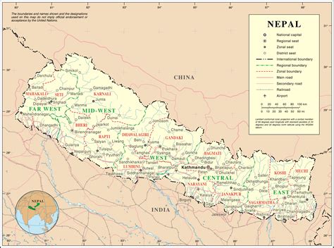
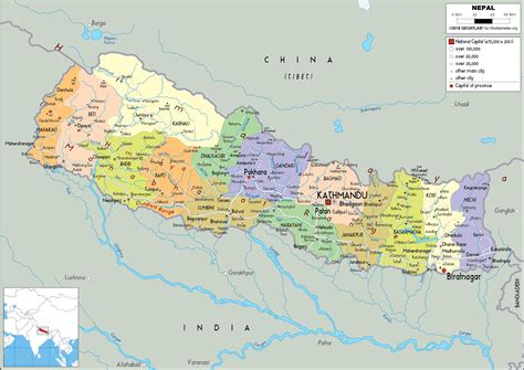
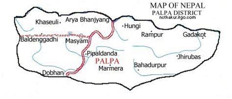
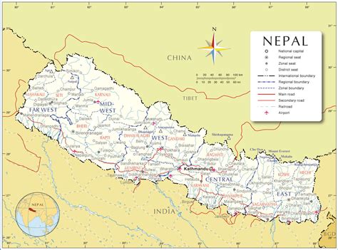
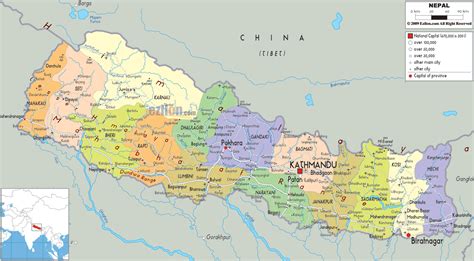
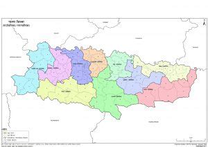
Palpa District (Nepali: पाल्पा जिल्लाListen , a part of Lumbini Province, is one of the seventy-seven districts of Nepal, a landlocked country of South Asia. The district, with Tansen as its headquarters, covers an area of 1,373 km2 (530 sq mi) and has a population (2011) of 261,180.Palpa District is not far from Pokhara and easily reached by bus. The ancient hill town of Tansen in this district offers a more tranquil atmosphere where laid back lifestyle is infectious. Walk down the cobbled streets in the old bazaar to discover a way of life. Explore the Shreenagar Hills or do a day hike to the Rani Mahal, once a vibrant palace on the banks of the Kali Gandaki River. Palpa was the seat of the Hindu Sen kingdom that ruled over this region from the 16th century for almost 300 years so Headquarter of Palpa is called “Tansen” (Nepali: तानसेन)