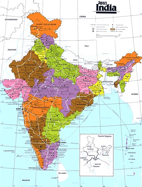
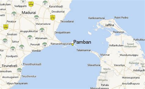
Pamban Bridge (pronounced: /pɑːmbən/ romanised: pāmban) is a railway bridge that connects the town of Mandapam in mainland India with Rameswaram on Pamban Island. Opened on 24 February 1914, it was India’s first sea bridge, and was the longest sea bridge in India until the opening of the Bandra-Worli Sea Link in 2010. The rail bridge is, for the most part, a conventional bridge resting on concrete piers but has a double-leaf bascule section midway, which can be raised to let ships and barges pass through. Until 1988, the Pamban bridge was the only surface transport that connected Tamil Nadu’s island of Rameswaram to the mainland India. On 23 December 2022, the bascule of this bridge was damaged due to extreme corrosion and so the sensors gave continuous warning signal which suspended transportation on the bridge for permanently. The last train which was officially ran on this bridge was Train no. 07695 Secunderabad Rameswaram Special which completed its commercial journey on the day end of 22 December 2022.In 1988, a road bridge was also constructed parallel to the rail bridge. This road bridge is also known as Annai Indira Gandhi Road Bridge. The Annai Indira Gandhi Road Bridge connects the National Highway (NH 49) with the Rameswaram island. It stands on the Palk Strait and between the shores of Mandapam (a place on the Indian mainland) and Pamban (one of the fishing towns on Rameswaram island). It was inaugurated by then Indian Prime Minister Rajiv Gandhi on 2 October 1988. This 2.345 km long bridge took close to 14 years to be completed.