Location: Pamukkale 🌎
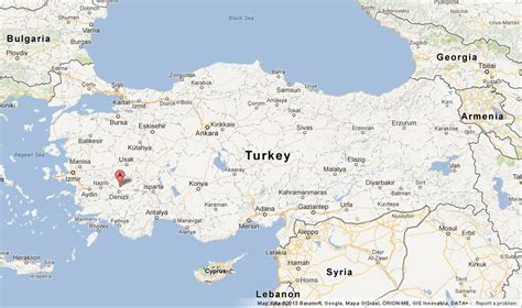
Location: Pamukkale, Turkey
Administration Region: Denizli
Population: 346625
ISO2 Code: Denizli
ISO3 Code: TUR
Location Type:
Latitude: 37.9239
Longitude: 29.1233
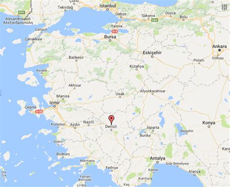
Pamukkale, meaning “cotton castle” in Turkish, is a natural site in Denizli Province in southwestern Turkey. The area is famous for a carbonate mineral left by the flowing of thermal spring water. It is located in Turkey’s Inner Aegean region, in the River Menderes valley, which has a temperate climate for most of the year.
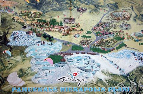
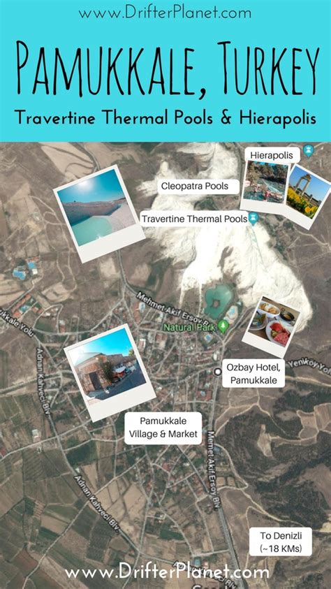
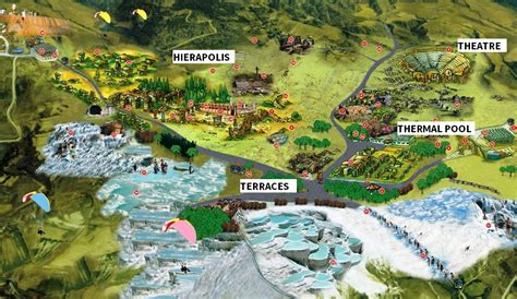
The ancient Greek city of Hierapolis was built on top of the travertine formation which is in total about 2,700 metres (8,860 ft) long, 600 m (1,970 ft) wide and 160 m (525 ft) high. It can be seen from the hills on the opposite side of the valley in the town of Denizli, 20 km away. This area has been drawing visitors to its thermal springs since the time of classical antiquity. The Turkish name refers to the surface of the shimmering, snow-white limestone, shaped over millennia by calcite-rich springs. Dripping slowly down the mountainside, mineral-rich waters collect in and cascade down the mineral terraces, into pools below.
It was added as a UNESCO World Heritage Site in 1988 along with Hierapolis.
Top Pamukkale HD Maps, Free Download 🗺️
Map
Maps
United States
United States
World Map
China
China
