Location: Pánuco 🌎
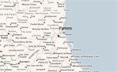
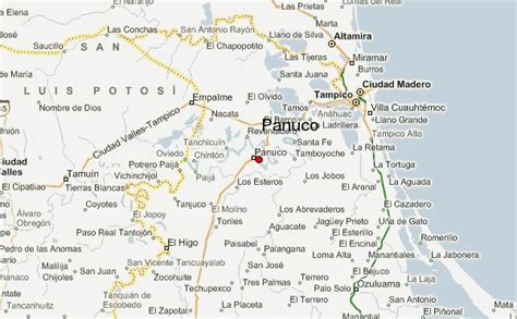
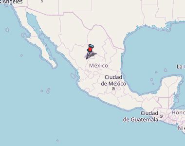
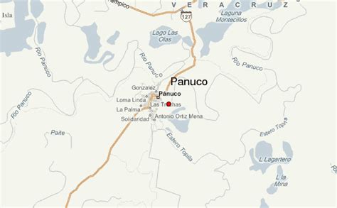
Location: Pánuco, Mexico Administration Region: Veracruz Population: 33122 ISO2 Code: Veracruz ISO3 Code: MEX Location Type: Lower-level Admin Capital Latitude: 22.2667 Longitude: -97.7833
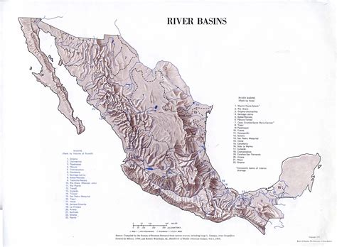
The Pánuco River (Spanish: Río Pánuco, Spanish pronunciation: [ˈpanuko] ), also known as the Río de Canoas, is a river in Mexico fed by several tributaries including the Moctezuma River and emptying into the Gulf of Mexico. The river is approximately 510 kilometres (320 mi) long and passes through or borders the states of Mexico, Hidalgo, Querétaro, San Luis Potosí, Tamaulipas, and Veracruz. According to the Atlas of Mexico, it is the fourth-largest river in Mexico by volume of runoff, and forms the sixth-largest river basin in Mexico by area.

Top Pánuco HD Maps, Free Download 🗺️
Map
Maps
United States
United States
World Map
China
China