Location: Paragould 🌎
Location: Paragould, United States
Administration Region: Arkansas
Population: 29327
ISO2 Code: Arkansas
ISO3 Code: USA
Location Type:
Latitude: 36.0569
Longitude: -90.5031
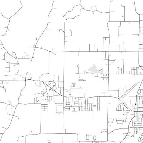
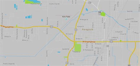
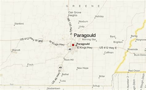
Paragould is the county seat of Greene County, and the 19th-largest city in Arkansas, in the United States. The city is located in northeastern Arkansas on the eastern edge of Crowley’s Ridge, a geologic anomaly contained within the Arkansas delta.
Paragould is the principal city of the Paragould, Arkansas Micropolitan Statistical Area and is also a part of the Jonesboro-Paragould Combined Statistical Area. The Paragould micropolitan area’s population was 42,090 at the 2010 census, and the Jonesboro-Paragould Combined Statistical Area’s population was 163,116.The city had a population of 26,113 at the 2010 census and an estimated population of 28,986 in 2019.
Top Paragould HD Maps, Free Download 🗺️
Map
Maps
United States
United States
World Map
China
China


