Location: Parras de la Fuente 🌎
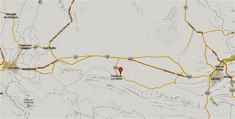
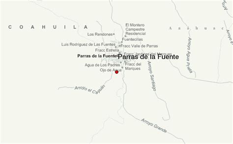
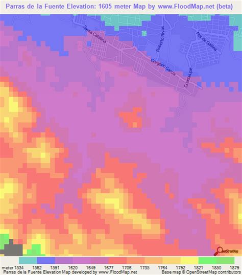
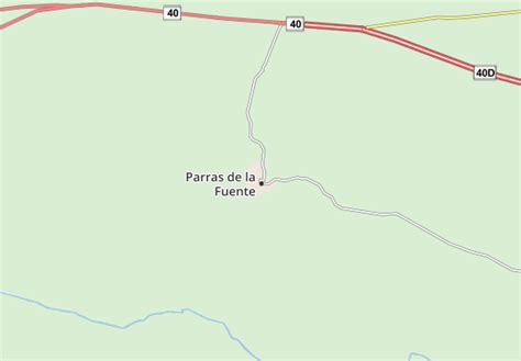
Location: Parras de la Fuente, Mexico Administration Region: Coahuila Population: 33817 ISO2 Code: Coahuila ISO3 Code: MEX Location Type: Lower-level Admin Capital Latitude: 25.4403 Longitude: -102.1792
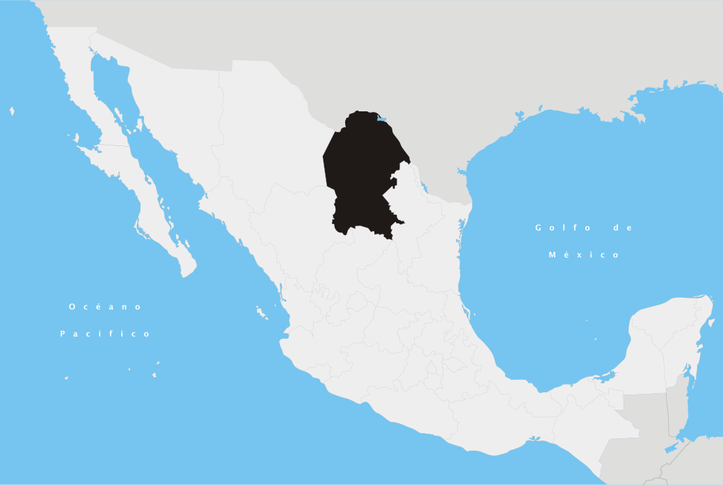
Parras de la Fuente (pronounced [ˈparas ðe la ˈfwente] ) is a city located in the southern part of the Mexican state of Coahuila. The city serves as the municipal seat of the surrounding Parras Municipality, which has an area of 9,271.7 km2 (3,579.8 sq mi). At the census of 2010, the population was 45,423. There are many factories that produce denim, including a Dickies factory, and Parras is also a source for Mexican wine. It was the first wine growing region in the Americas.
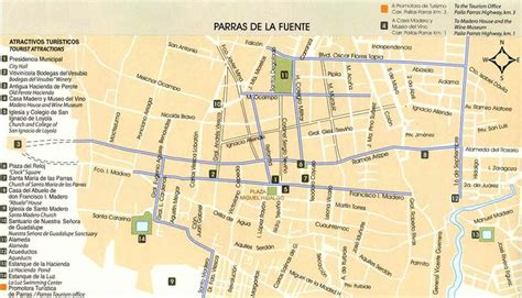
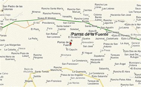
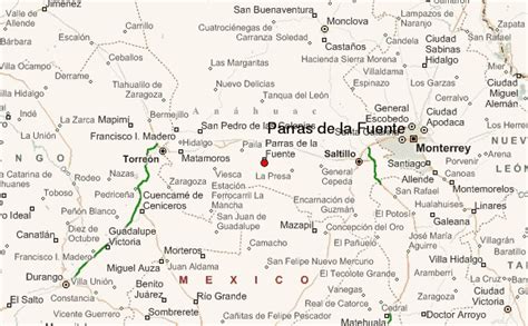
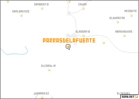
Top Parras de la Fuente HD Maps, Free Download 🗺️
Map
Maps
United States
United States
World Map
China
China