Location: Patāmundai 🌎
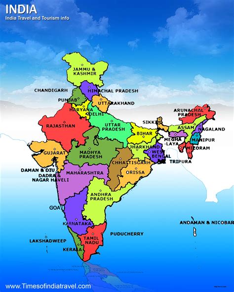
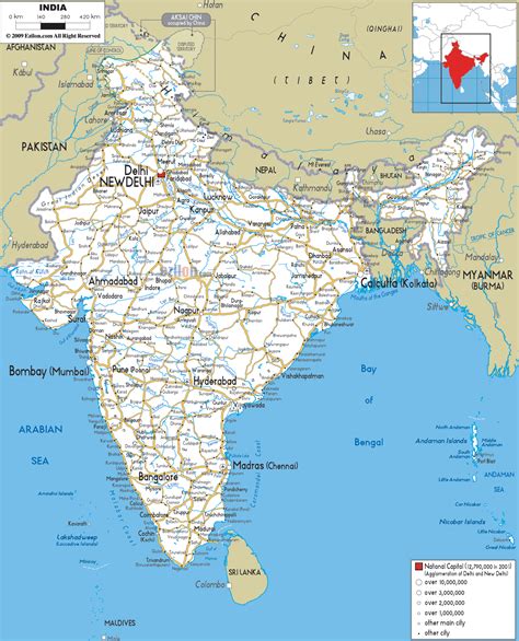
Location: Patāmundai, India
Administration Region: Odisha
Population: 36528
ISO2 Code: Odisha
ISO3 Code: IND
Location Type:
Latitude: 20.525
Longitude: 86.475
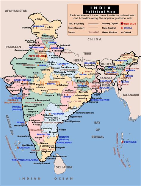
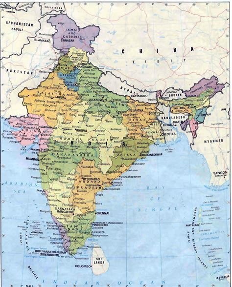
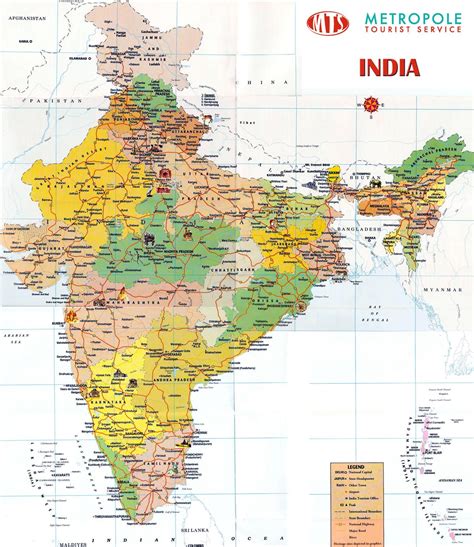
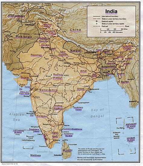
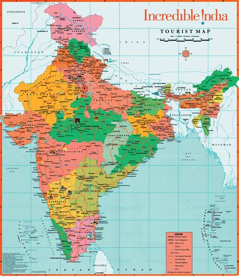
Kendrapara District is an administrative district of Odisha state in eastern India. The town of Kendrapara is the district headquarters. Kendrapara District is situated in the eastern portion of the state, and is bounded on the north by Bhadrak district, on the east by the Bay of Bengal, on the south by Jagatsinghpur District, on the west by Cuttack District on the northwest by Jajpur District.

Top Patāmundai HD Maps, Free Download 🗺️
Map
Maps
United States
United States
World Map
China
China
