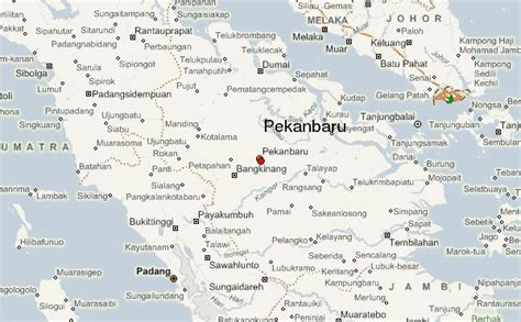
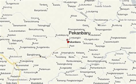
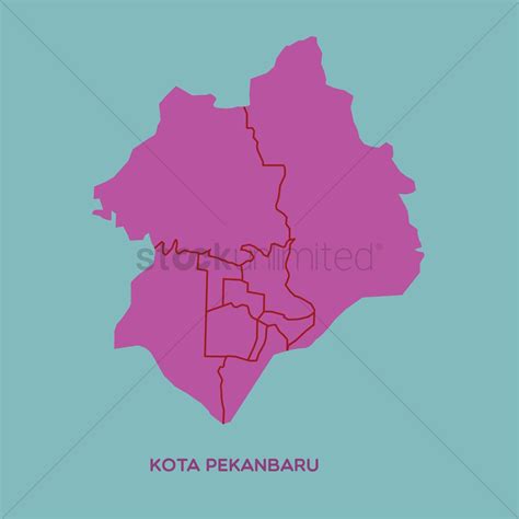
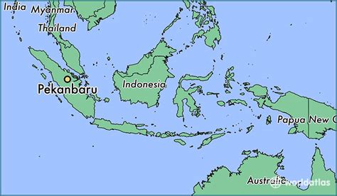
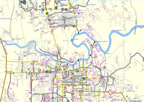
Location: Pekanbaru 🌎
Location: Pekanbaru, Indonesia
Administration Region: Riau
Population: 983356
ISO2 Code: Riau
ISO3 Code: IDN
Location Type: First-level Admin Capital
Latitude: 0.5092
Longitude: 101.4453
Pekanbaru is the capital of Indonesian province of Riau, and a major economic center on the eastern part of Sumatra Island. Its name is derived from the Malay words for ‘new market’ (‘pekan’ is market and ‘baru’ is new).
It has an area of 632.26 km2 (244.12 sq mi), with a population of 897,767 at the 2010 Census, and 983,356 at the 2020 Census. It is located on the banks of the Siak River, which flows into the Strait of Malacca, Pekanbaru has direct access to the busy strait and has long been known as a trading port.
A settlement has existed on the site since the 17th century. In the late 19th century, the city was developed to serve the coffee and coal industries, and the Dutch built roads to help ship goods to Singapore and Malacca. This city has an airport called Sultan Syarif Kasim II International Airport, and a port called Sungai Duku that is located by the Siak River.
Top Pekanbaru HD Maps, Free Download 🗺️
Map
Maps
United States
United States
World Map
China
China
