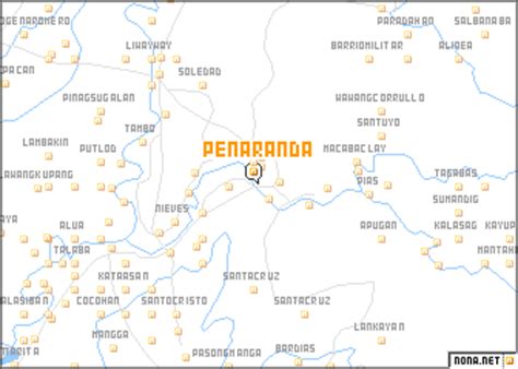
Location: Peñaranda 🌎
Location: Peñaranda, Philippines
Administration Region: Nueva Ecija
Population: 32269
ISO2 Code: Nueva Ecija
ISO3 Code: PHL
Location Type:
Latitude: 15.3531
Longitude: 121.0017
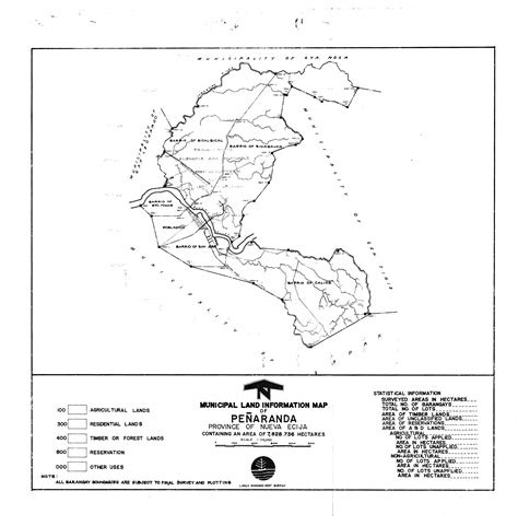
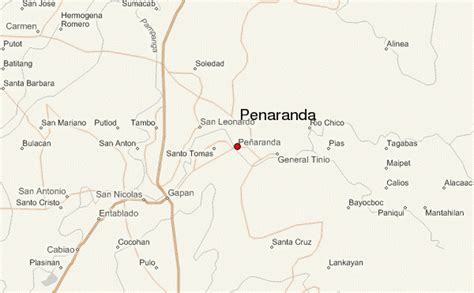
Peñaranda, officially the Municipality of Peñaranda (Tagalog: Bayan ng Peñaranda), is a 4th class municipality in the province of Nueva Ecija, Philippines. According to the 2020 census, it has a population of 32,269 people. It is bordered by municipalities of General Tinio and San Leonardo and the city of Gapan.
The area was originally called Mapisong, and it was a part of the municipality of Gapan. The area was organized into a municipality by José Maria Peñaranda, a Spanish engineer, and subsequently named after him.
Peñaranda was once known for its high quality crop called ikmo, a plant used by older Filipinos as a chewing substance. Recently however, the crop is on the brink of extinction. Rice remains a flourishing farm produce.
In 2012, the National Commission for Culture and the Arts (NCCA) and the ICHCAP of UNESCO published Pinagmulan: Enumeration from the Philippine Inventory of Intangible Cultural Heritage. The first edition of the UNESCO-backed book included Nueva Ecija’s Arakyo, signifying its great importance to Philippine intangible cultural heritage. The local government of Nueva Ecija, in cooperation with the NCCA, is given the right to nominate the Arakyo in the UNESCO Intangible Cultural Heritage Lists.
Top Peñaranda HD Maps, Free Download 🗺️
Map
Maps
United States
United States
World Map
China
China
