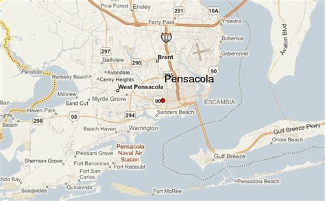
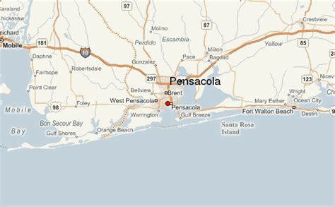
Pensacola ( pen-SAH-koh-LAH) is the westernmost city in the Florida Panhandle, and the county seat and only incorporated city of Escambia County, Florida. Pensacola is the principal city of the Pensacola Metropolitan Area, which had an estimated 502,629 residents in 2019. At the 2020 United States census, the population was 54,312.
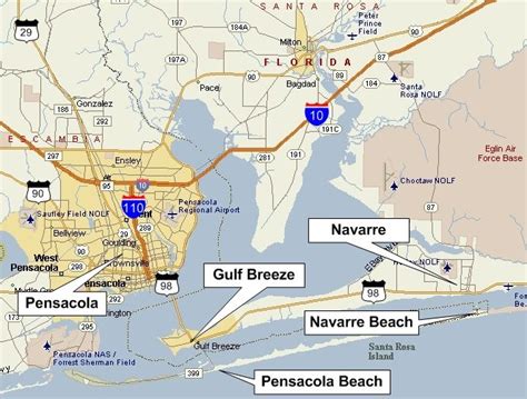
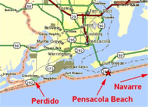
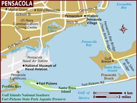
Pensacola is the site of the first Spanish settlement within the borders of the continental United States in 1559, predating the establishment of St. Augustine by 6 years, although the settlement was abandoned due to a hurricane and not re-established until 1698. Pensacola is a seaport on Pensacola Bay, which is protected by the barrier island of Santa Rosa and connects to the Gulf of Mexico. A large United States Naval Air Station, the first in the United States, is located southwest of Pensacola near Warrington; it is the base of the Blue Angels flight demonstration team and the National Naval Aviation Museum. The main campus of the University of West Florida is situated north of the city center.
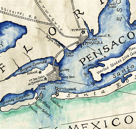
The area was originally inhabited by Muskogean-speaking peoples. The Pensacola people lived there at the time of European contact, and Creek people frequently visited and traded from present-day southern Alabama and Mississippi and southeast of Louisiana. Spanish explorer Tristán de Luna founded a short-lived settlement in 1559. In 1698 the Spanish established a presidio in the area, from which the modern city gradually developed. The area changed hands several times as European powers competed in North America. During Florida’s British rule (1763–1781), fortifications were strengthened.
It is nicknamed “The City of Five Flags”, due to the five governments that have ruled it during its history: the flags of Spain (Castile), France, Great Britain, the United States of America, and the Confederate States of America. Other nicknames include “World’s Whitest Beaches” (due to the white sand of Florida panhandle beaches), “Cradle of Naval Aviation”, “Western Gate to the Sunshine State”, “America’s First Settlement”, “Emerald Coast”, and “P-Cola”.