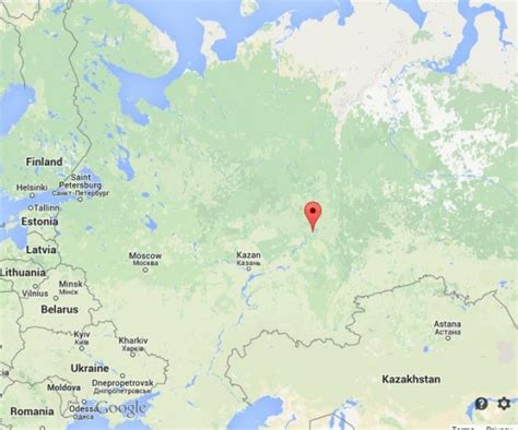
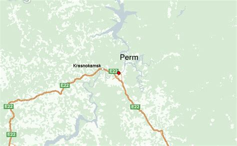
Location: Perm 🌎
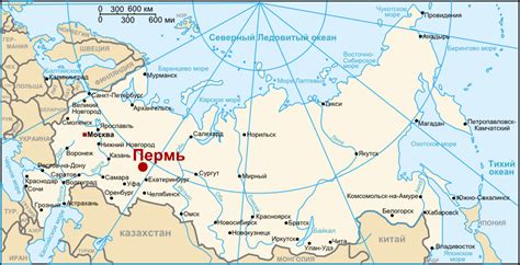
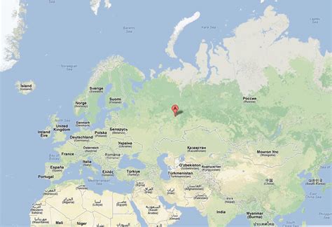
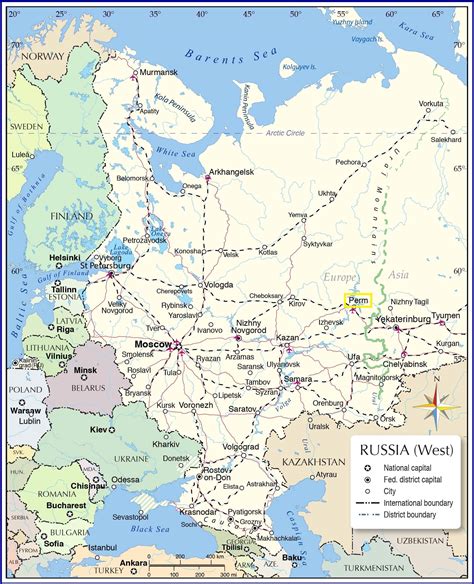
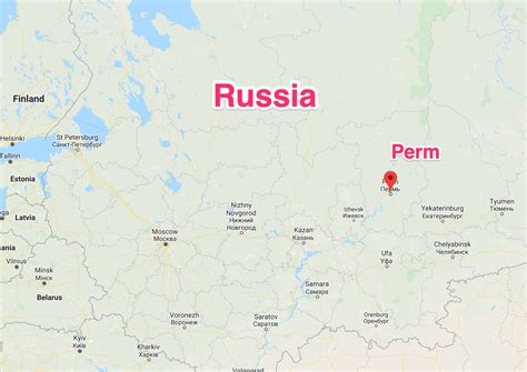
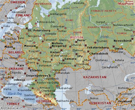
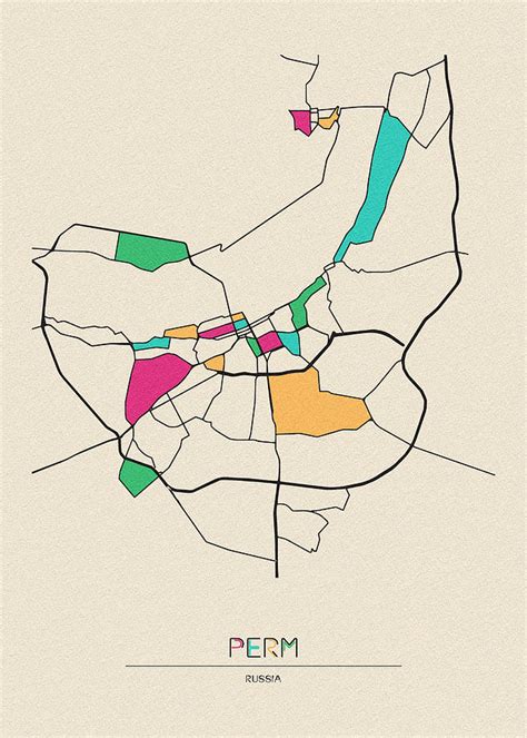
Location: Perm, Russia
Administration Region: Permskiy Kray
Population: 1048005
ISO2 Code: Permskiy Kray
ISO3 Code: RUS
Location Type: First-level Admin Capital
Latitude: 58
Longitude: 56.3167
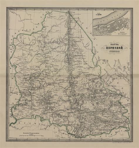
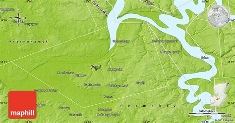
Perm (Russian: Пермь, IPA: [pʲermʲ]), previously known as Yagoshikha (Ягошиха) (1723–1781), and Molotov (Молотов) (1940–1957), is the largest city and the administrative centre of Perm Krai, Russia. The city is located on the banks of the Kama River, near the Ural Mountains, covering an area of 799.68 square kilometres (308.76 square miles), with a population of over one million residents. Perm is the fifteenth-largest city in Russia, and the fifth-largest city in the Volga Federal District.
In 1723, a copper-smelting works was founded at the village of Yagoshikha. In 1781 the settlement of Yagoshikha became the town of Perm. Perm’s position on the navigable Kama River, leading to the Volga, and on the Siberian Route across the Ural Mountains, helped it become an important trade and manufacturing centre. It also lay along the Trans-Siberian Railway. Perm grew considerably as industrialization proceeded in the Urals during the Soviet period, and in 1940 was named Molotov in honour of Vyacheslav Molotov. In 1957 the city returned to its historical name.
Modern Perm is still a major railway hub and one of the chief industrial centers of the Urals region. The city’s diversified metallurgical and engineering industries produce equipment and machine tools for the petroleum and coal industries, as well as agricultural machinery. A major petroleum refinery uses oil transported by pipeline from the West Siberian oilfields, and the city’s large chemical industry makes fertilizers and dyes. The city’s institutions of higher education include the Perm A.M. Gorky State University, founded in 1916.
Top Perm HD Maps, Free Download 🗺️
Map
Maps
United States
United States
World Map
China
China
