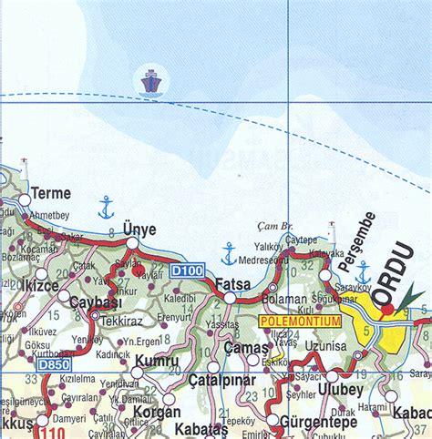
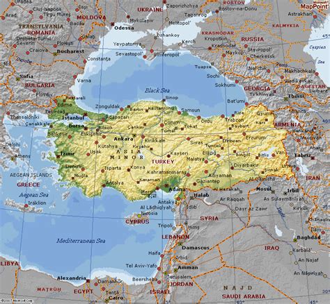
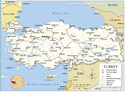
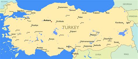
Perşembe (Turkish: Perşembe,originated from Persian word “پنج شنبه(/pændʒʃænbɛ/)” meaning Thursday) (formerly Vona, Βόνη in ancient Greek, also Heneti, ჰენეთი in Georgian and Laz languages) is a town and district of Ordu Province on the Black Sea coast of Turkey. According to the 2016 census, population of the district is 31,065, with a male population of 15,966 and female population of 15,099. The district covers an area of 237 km2 (92 sq mi), and the town lies at an elevation of 0 m (0 ft).