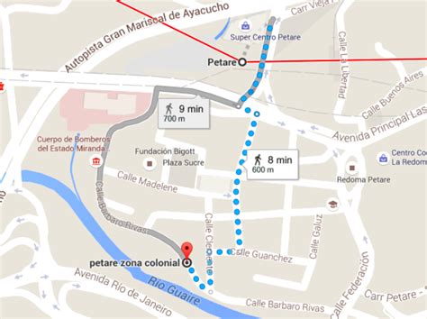
Location: Petare 🌎
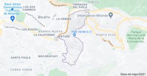
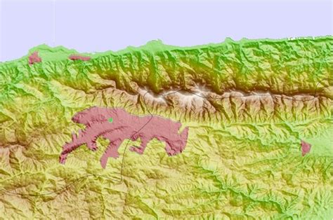
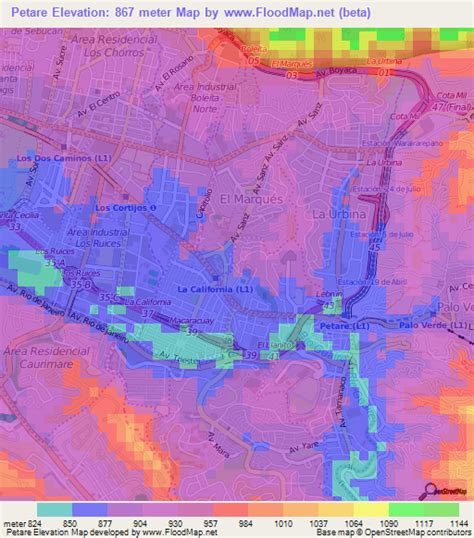
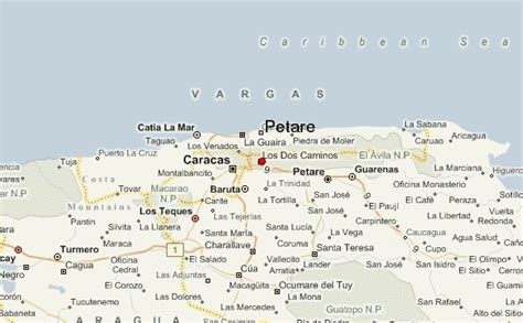
Location: Petare, Venezuela Administration Region: Miranda Population: 369000 ISO2 Code: Miranda ISO3 Code: VEN Location Type: Lower-level Admin Capital Latitude: 10.4833 Longitude: -66.8167
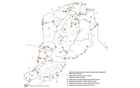
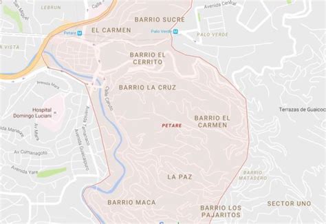
Dulce Nombre de Jesus de Petare is a neighborhood in Miranda, Venezuela, and is part of the Metropolitan District of Caracas. It is located in the Sucre Municipality, one of the five divisions of Caracas. The city was founded in 1621 under the name of San Jose de Guanarito. It grew to become a part of the Greater Caracas area as the latter expanded in area and population. Petare had a population of 372,106 inhabitants and about 448,861 according to 2020 estimates. Petare is the biggest slum in Venezuela, and in South America. The neighborhood is towards the eastern edge of Caracas, but has developed its own commercial core. Two universities are located in Petare: Universidad Santa María and Universidad Metropolitana. Poverty remains a major limitation to the city’s development.

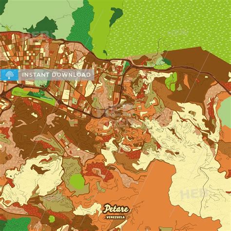
Top Petare HD Maps, Free Download 🗺️
Map
Maps
United States
United States
World Map
China
China