Location: Philippines 🌎
Country: Philippines
ISO2 Code: PH
ISO3 Code: PHL
Location Type: Country
Latitude: 13
Longitude: 122
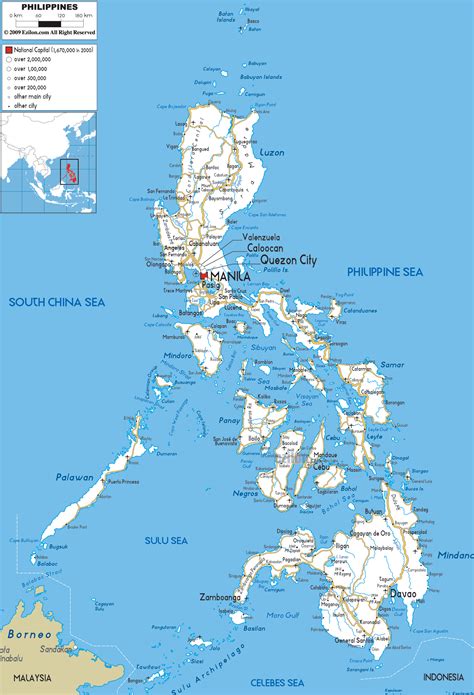
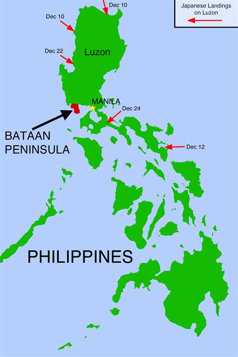
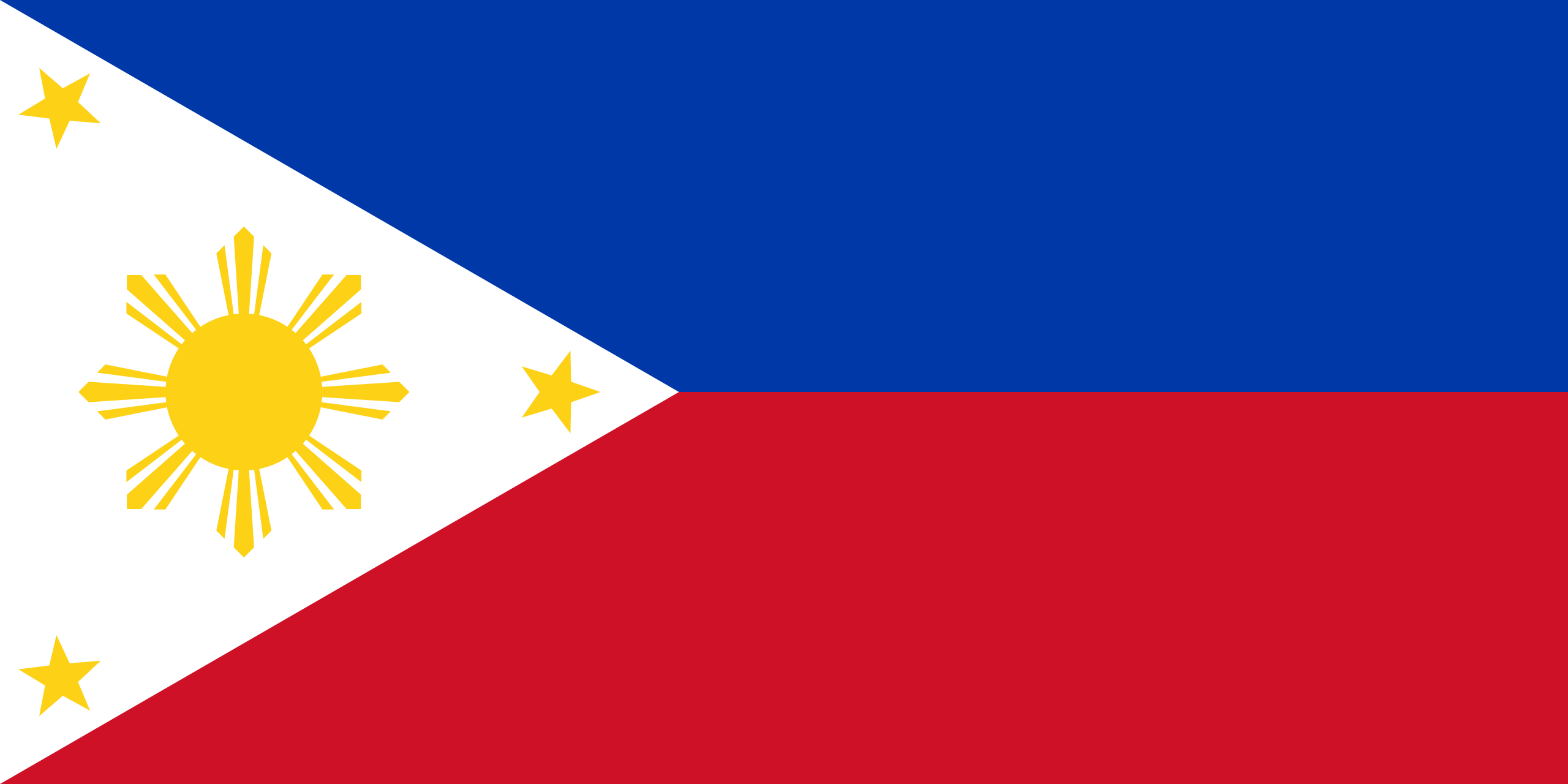
The Philippines ( ; Filipino: Pilipinas), officially the Republic of the Philippines (Filipino: Republika ng Pilipinas), is an archipelagic country in Southeast Asia. In the western Pacific Ocean, it consists of 7,641 islands which are broadly categorized in three main geographical divisions from north to south: Luzon, Visayas, and Mindanao. The Philippines is bounded by the South China Sea to the west, the Philippine Sea to the east, and the Celebes Sea to the south. It shares maritime borders with Taiwan to the north, Japan to the northeast, Palau to the east and southeast, Indonesia to the south, Malaysia to the southwest, Vietnam to the west, and China to the northwest. It is the world’s thirteenth-most-populous country, with diverse ethnicities and cultures. Manila is the country’s capital, and its largest city is Quezon City; both are within Metro Manila.
Negritos, the archipelago’s earliest inhabitants, were followed by waves of Austronesian peoples. The adoption of Animism, Hinduism and Islam established island-kingdoms ruled by datus, rajas, and sultans. The arrival of Ferdinand Magellan, a Portuguese explorer leading a fleet for Spain, marked the beginning of Spanish colonization. In 1543, Spanish explorer Ruy López de Villaloboscode: spa promoted to code: es named the archipelago Las Islas Filipinas in honor of Philip II of Spain. Spanish settlement through Mexico, beginning in 1565, led to the Philippines becoming ruled by the Spanish Empire for more than 300 years. Catholicism became the dominant religion, and Manila became the western hub of trans-Pacific trade. The Philippine Revolution began in 1896, which became entwined with the 1898 Spanish–American War. Spain ceded the territory to the United States, and Filipino revolutionaries declared the First Philippine Republic. The ensuing Philippine–American War ended with the United States controlling the territory until the Japanese invasion of the islands during World War II. After liberation, the Philippines became independent in 1946. The unitary sovereign state has had a tumultuous experience with democracy, which included the overthrow of a decades-long dictatorship in a nonviolent revolution.
The Philippines is an emerging market and a newly industrialized country, whose economy is transitioning from being agricultural to service- and manufacturing-centered. It is a founding member of the United Nations, the World Trade Organization, ASEAN, the Asia-Pacific Economic Cooperation forum, and the East Asia Summit; it is a major non-NATO ally of the United States. Its location as an island country on the Pacific Ring of Fire and close to the equator makes it prone to earthquakes and typhoons. The Philippines has a variety of natural resources and a globally-significant level of biodiversity.
Top Philippines HD Maps, Free Download 🗺️
Map
Maps
United States
United States
World Map
China
China
