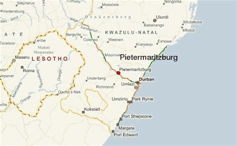
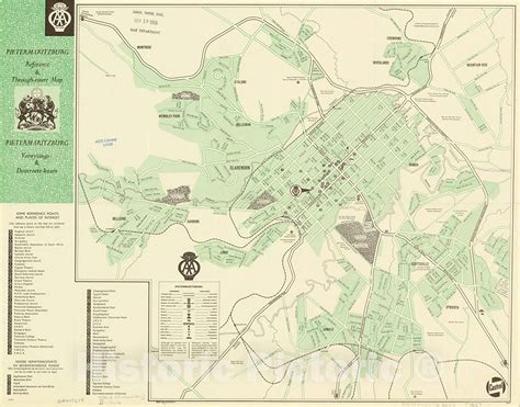
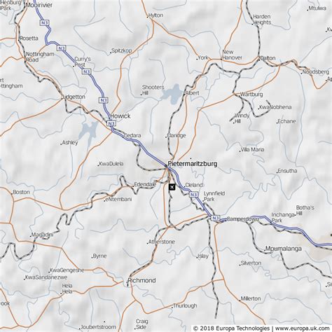
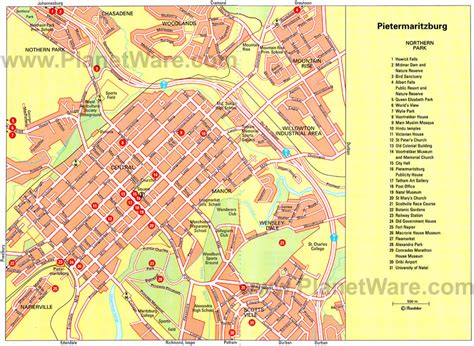
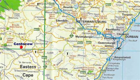
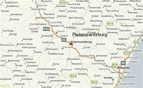
Location: Pietermaritzburg 🌎
Location: Pietermaritzburg, South Africa
Administration Region: KwaZulu-Natal
Population: 750845
ISO2 Code: KwaZulu-Natal
ISO3 Code: ZAF
Location Type: First-level Admin Capital
Latitude: -29.6167
Longitude: 30.3833
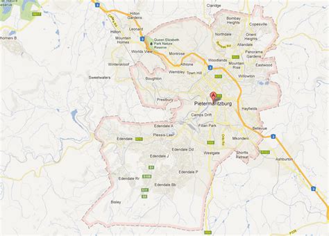
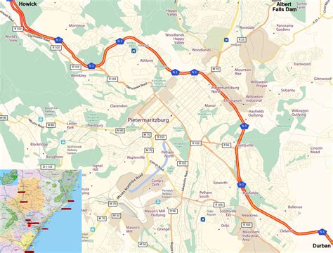
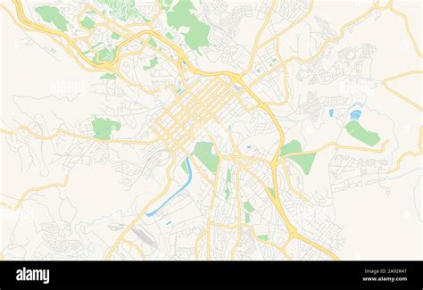
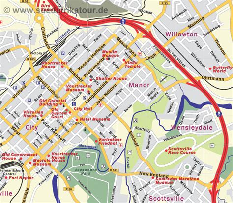
Pietermaritzburg (; Zulu: umGungundlovu) is the capital and second-largest city in the province of KwaZulu-Natal, South Africa. It was founded in 1838 and is currently governed by the Msunduzi Local Municipality. Its Zulu name umGungundlovu is the name used for the district municipality. Pietermaritzburg is popularly called Maritzburg in Afrikaans, English and Zulu alike, and often informally abbreviated to PMB. It is a regionally important industrial hub, producing aluminium, timber and dairy products, as well as the main economic hub of Umgungundlovu District Municipality. The public sector is a major employer in the city due to local, district and provincial governments located here.
The city has many schools and tertiary education institutions, including a campus of the University of KwaZulu-Natal. It had a population of 228,549 in 1991; the current population is estimated at over 600,000 residents (including neighbouring townships) and has one of the largest populations of Indian South Africans in South Africa.
Pietermaritzburg is an emerging metropolitan area.

Top Pietermaritzburg HD Maps, Free Download 🗺️
Map
Maps
United States
United States
World Map
China
China
