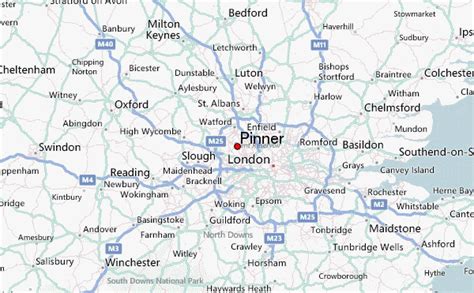
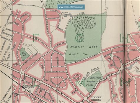
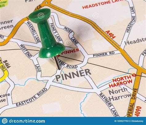
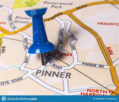
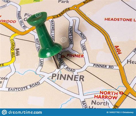
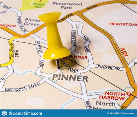
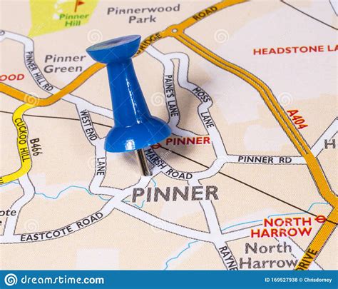
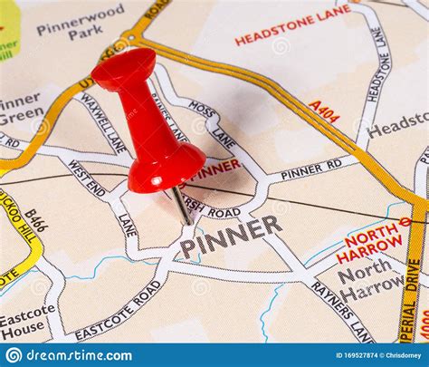
Pinner is a suburb in the London Borough of Harrow, Greater London, England, 12 miles (19 km) northwest of Charing Cross, close to the border with Hillingdon, historically in the county of Middlesex. The population was 31,130 in 2011.Originally a mediaeval hamlet, the St John Baptist church dates from the 14th century and other parts of the historic village include Tudor buildings. The newer High Street is mainly 18th-century buildings, while Bridge Street has a more urban character and many chain stores.