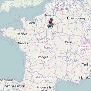
Location: Plaisir 🌎
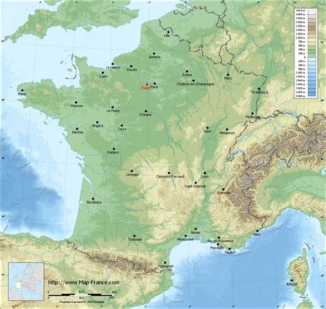
Location: Plaisir, France
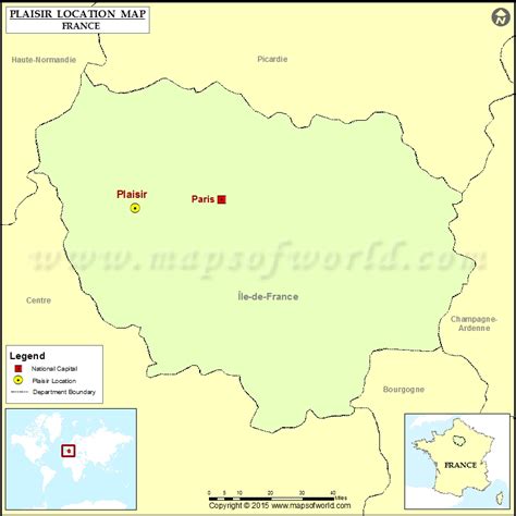
Administration Region: Île-de-France
Population: 31013
ISO2 Code: Île-de-France
ISO3 Code: FRA
Location Type:
Latitude: 48.8183
Longitude: 1.9472
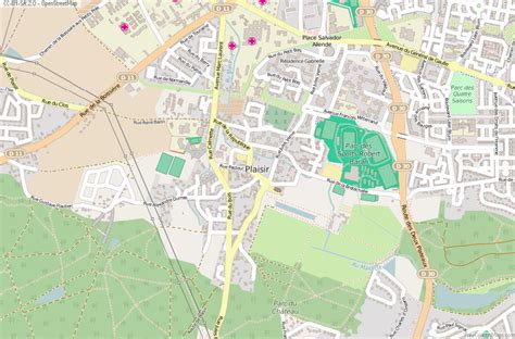
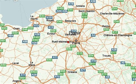
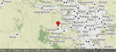
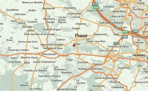
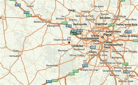
Plaisir (French pronunciation: [plɛziʁ]) is a commune located in the heart of the Yvelines department in the Île-de-France region in Northern France. It is located in the western outer suburbs of Paris, 29.5 km (18.3 mi) from the centre of Paris.
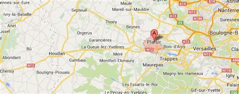
It borders among others on Élancourt (south), Trappes (southeast) and Les Clayes-sous-Bois (east).
Plaisir has managed to preserve its twelfth century church. Its varied territory is characterised by large agricultural plains, many green spaces and a forest area that together occupy half of its surface.
Plaisir is the twelfth commune of the Yvelines department in terms of population, with nearly 31,000 inhabitants. It is a member of the communauté d’agglomération Saint-Quentin-en-Yvelines.
Between 1968 and 1990, Plaisir has seen explosive growth in its population, but since then, the town’s policy has been to contain growth and aim for stabilisation, in order to main the local quality of living as well as the natural spaces (forests and agricultural lands).
It has a major shopping mall that is still expanding. This commercial activity has been a boon for local tax revenues, but also led to congestion of its roads.
Aside from this commercial activity, Plaisir is also home to a number of other activities, for instance it is home to the Zodiaxc corporation and hosts the Lenôtre culinary school which attracts students from across the globe.
Top Plaisir HD Maps, Free Download 🗺️
Map
Maps
United States
United States
World Map
China
China
