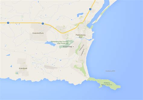
Location: Plettenberg Bay 🌎
Location: Plettenberg Bay, South Africa
Administration Region: Western Cape
Population: 31804
ISO2 Code: Western Cape
ISO3 Code: ZAF
Location Type:
Latitude: -34.05
Longitude: 23.3667
Plettenberg Bay, nicknamed Plet or Plett, is the primary town of the Bitou Local Municipality in the Western Cape Province of South Africa. As of the census of 2001, there were 29,149 population. It was originally named Bahia Formosa (“beautiful bay”) by early Portuguese explorers and lies on South Africa’s Garden Route 210 km from Port Elizabeth and about 600 km from Cape Town.
Top Plettenberg Bay HD Maps, Free Download 🗺️
Map
Maps
United States
United States
World Map
China
China
