Location: Pointe-Noire 🌎
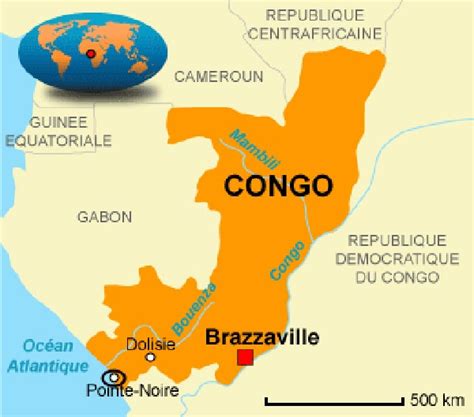
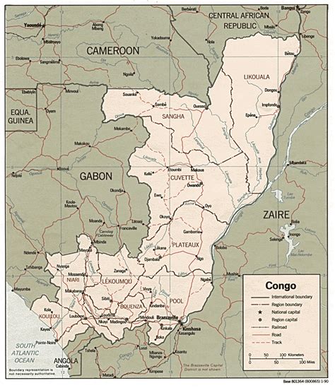
Location: Pointe-Noire, Congo (Brazzaville)
Administration Region: Pointe-Noire
Population: 829134
ISO2 Code: Pointe-Noire
ISO3 Code: COG
Location Type: First-level Admin Capital
Latitude: -4.8
Longitude: 11.85
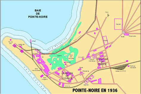
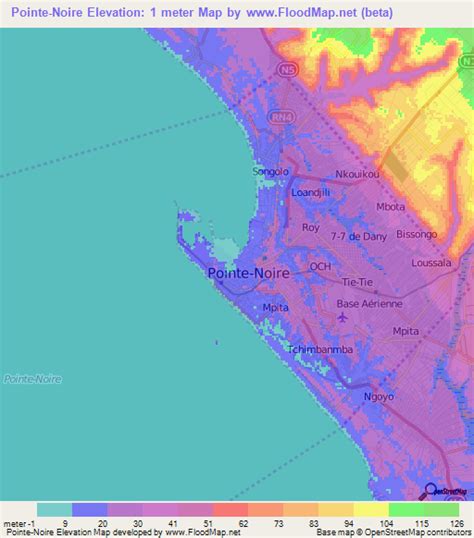
Pointe-Noire ([pwɛ̃t.nwaʁ]; Kongo: Njinji, French: Ndjindji with the letter d following French spelling standards) is the second largest city in the Republic of the Congo, following the capital of Brazzaville, and an autonomous department since 2004. Before this date it was the capital of the Kouilou region (now a separate department). It is situated on a headland between Pointe-Noire Bay and the Atlantic Ocean. Pointe-Noire is the main commercial centre of the country and has a population of 715,334 (2007), expanding to well over 1 million when the entire metropolitan area is taken into account.
Top Pointe-Noire HD Maps, Free Download 🗺️
Map
Maps
United States
United States
World Map
China
China


