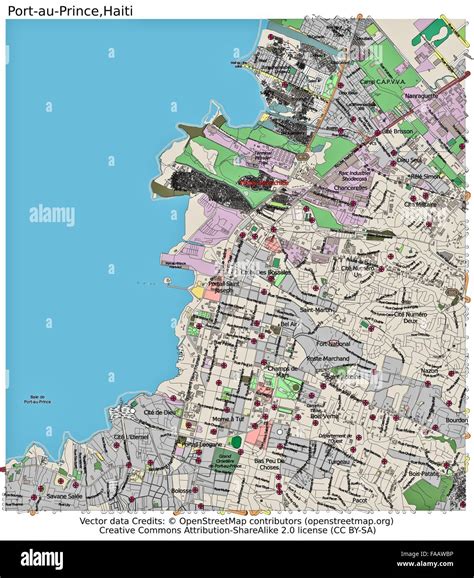
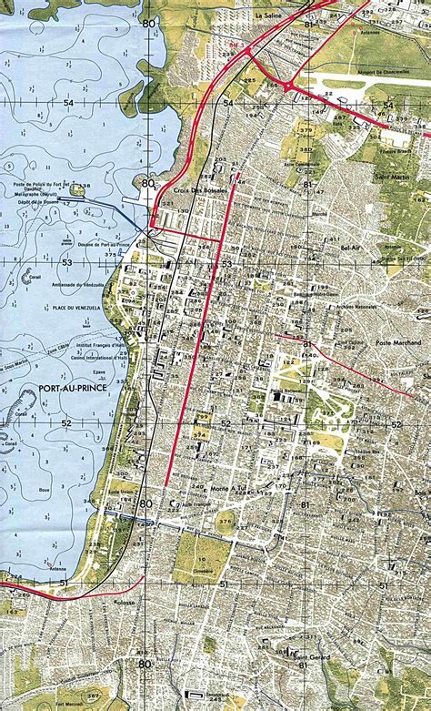
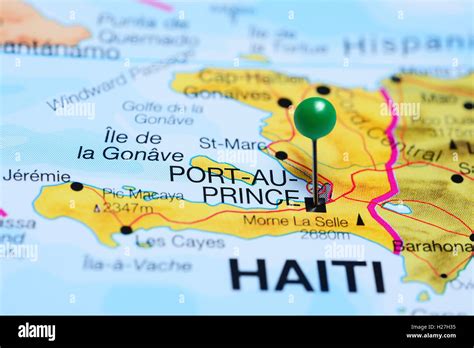
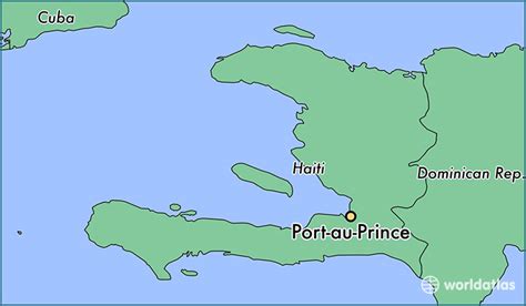
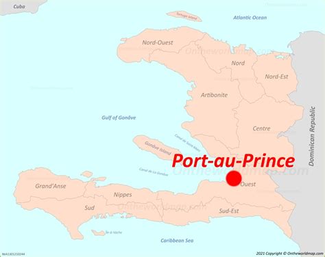
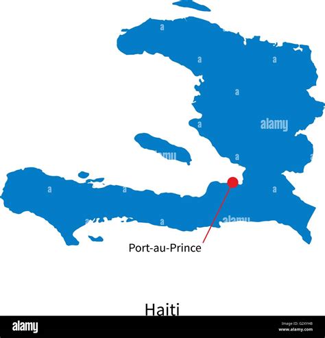
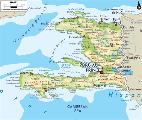
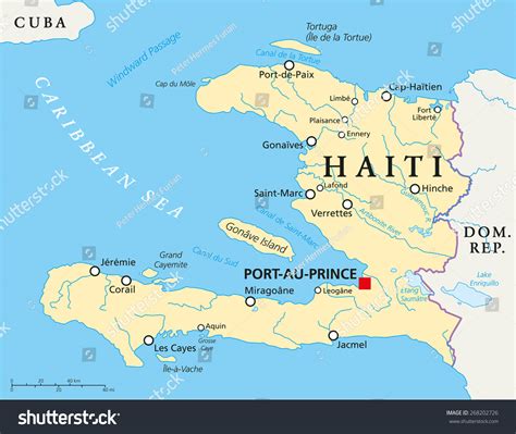
Location: Port-au-Prince 🌎
Location: Port-au-Prince, Haiti
Administration Region: Ouest
Population: 987310
ISO2 Code: Ouest
ISO3 Code: HTI
Location Type: Primary Capital
Latitude: 18.5333
Longitude: -72.3333
Port-au-Prince ( PORT oh PRINSS; French: Port-au-Prince, French: [pɔʁ o pʁɛ̃s]; Haitian Creole: Pòtoprens, [pɔtopɣɛ̃s]) is the capital and most populous city of Haiti. The city’s population was estimated at 1,200,000 in 2022 with the metropolitan area estimated at a population of 2,618,894. The metropolitan area is defined by the IHSI as including the communes of Port-au-Prince, Delmas, Cite Soleil, Tabarre, Carrefour and Pétion-Ville.
The city of Port-au-Prince is on the Gulf of Gonâve: the bay on which the city lies, which acts as a natural harbor, has sustained economic activity since the civilizations of the Taíno. It was first incorporated under French colonial rule in 1749. The city’s layout is similar to that of an amphitheater; commercial districts are near the water, while residential neighborhoods are located on the hills above. Its population is difficult to ascertain due to the rapid growth of slums in the hillsides above the city; however, recent estimates place the metropolitan area’s population at around 3.7 million, nearly half of the country’s national population. The city was catastrophically affected by a massive earthquake in 2010, with large numbers of structures damaged or destroyed. Haiti’s government estimated the death toll to be 230,000. Gang violence is extensive, and kidnappings, massacres and gang-rapes are common occurrences, often with the complicity of police officers and politicians.
Top Port-au-Prince HD Maps, Free Download 🗺️
Map
Maps
United States
United States
World Map
China
China

