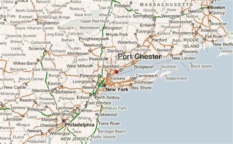
Location: Port Chester 🌎
Location: Port Chester, United States
Administration Region: New York
Population: 31317
ISO2 Code: New York
ISO3 Code: USA
Location Type:
Latitude: 41.005
Longitude: -73.6689
Port Chester is a village in the U.S. state of New York and the largest part of the town of Rye in Westchester County by population. At the 2010 U.S. census, the village of Port Chester had a population of 28,967 and was the fifth-most populous village in New York State. In 2019, its population grew to a census-estimated 29,342 residents. Located in southeast Westchester, Port Chester forms part of the New York City metropolitan statistical area. Port Chester borders the state of Connecticut and the town of Greenwich to the east. Port Chester is one of only 12 villages in New York still incorporated under a charter; other villages either incorporated or reincorporated under the provisions of Village Law.The village of Port Chester is nicknamed the “Gateway to New England” and serves as a transportation hub between New England states and New York. Its economy is primarily stimulated by small businesses, the local government, and several national chain stores, including Stop & Shop, Marshalls, Target, T-Mobile and Metro by T-Mobile, Verizon, Boost Mobile, Staples, and Walgreens.
Top Port Chester HD Maps, Free Download 🗺️
Map
Maps
United States
United States
World Map
China
China
