Location: Port Moody 🌎
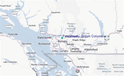
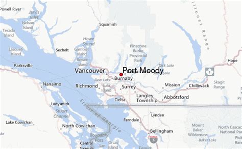
Location: Port Moody, Canada
Administration Region: British Columbia
Population: 33551
ISO2 Code: British Columbia
ISO3 Code: CAN
Location Type:
Latitude: 49.2831
Longitude: -122.8317
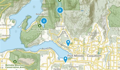
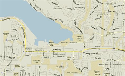
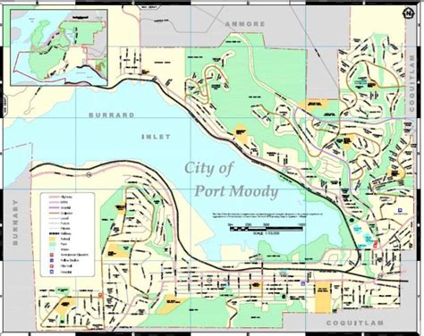
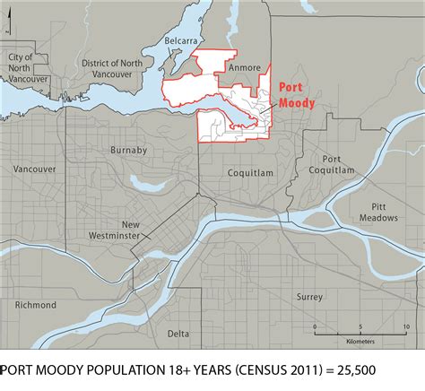
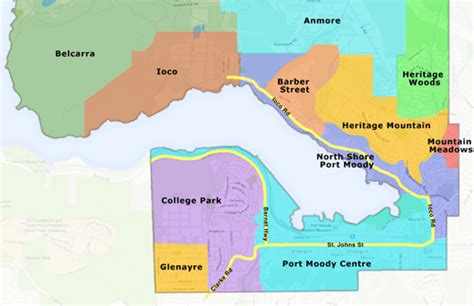
Port Moody is a city in British Columbia, Canada, and a member municipality of the Metro Vancouver Regional District. It envelops the east end of Burrard Inlet and is the smallest of the Tri-Cities, bordered by Coquitlam on the east and south and by Burnaby on the west. The villages of Belcarra and Anmore, along with the rugged Coast Mountains, lie to the northwest and north, respectively. It is named for Richard Clement Moody, the first lieutenant governor of the Colony of British Columbia.
Top Port Moody HD Maps, Free Download 🗺️
Map
Maps
United States
United States
World Map
China
China


