Location: Port St. Lucie 🌎
Location: Port St. Lucie, United States
Administration Region: Florida
Population: 468979
ISO2 Code: Florida
ISO3 Code: USA
Location Type:
Latitude: 27.2758
Longitude: -80.355
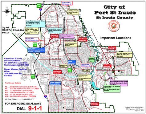
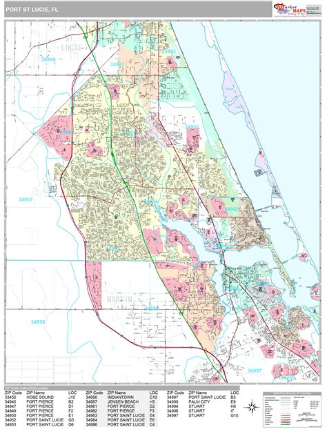
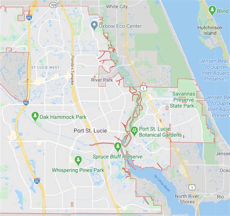
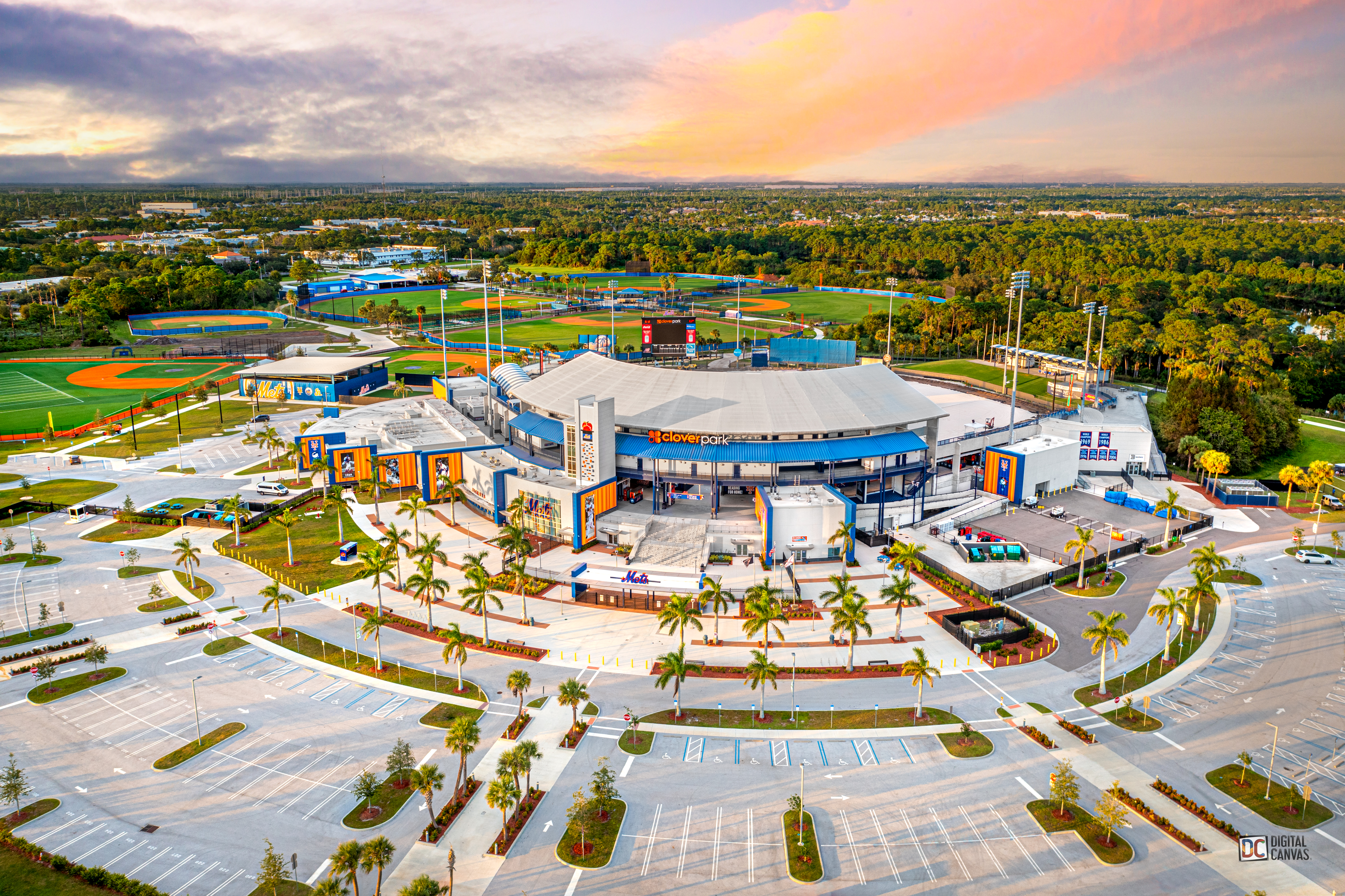
Port St. Lucie is a city in St. Lucie County, Florida, United States. It is the most populous municipality in the county with a population of 204,851 at the 2020 census. It is located 125 miles (201 km) southeast of Orlando and 113 miles (182 km) north of Miami. It is a principal city in the Port St. Lucie Metropolitan Statistical Area, which includes St. Lucie and Martin counties, and as of 2021 had an estimated population of 502,521. Port St. Lucie is also a principal city in the Miami-Fort Lauderdale-Port St. Lucie Combined Statistical Area, which had an estimated population of 6,841,100 as of 2021.
Top Port St. Lucie HD Maps, Free Download 🗺️
Map
Maps
United States
United States
World Map
China
China
