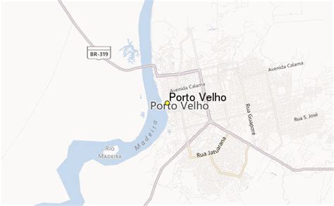
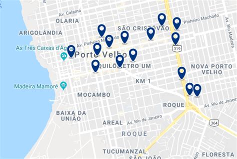
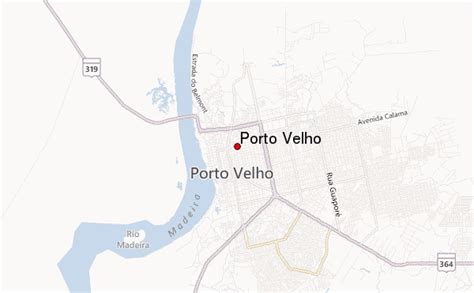
Location: Porto Velho 🌎
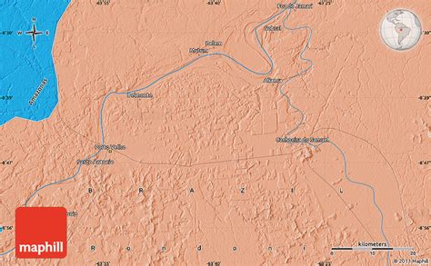
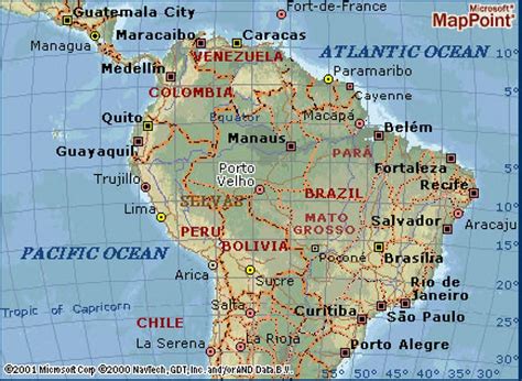
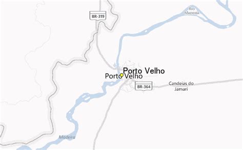
Location: Porto Velho, Brazil Administration Region: Rondônia Population: 428527 ISO2 Code: Rondônia ISO3 Code: BRA Location Type: First-level Admin Capital Latitude: -8.7619 Longitude: -63.9039
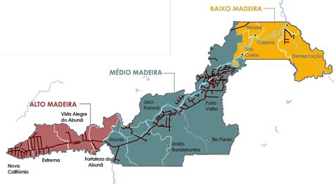
Porto Velho (Portuguese pronunciation: [ˈpoʁtu ˈvɛʎu], Old Port) is the capital of the Brazilian state of Rondônia, in the upper Amazon River basin, and a Catholic Metropolitan Archbishopric. The population is 548,952 people (as of the IBGE 2021 estimation). Located on the border of Rondônia and the state of Amazonas, the town is an important trading center for cassiterite, the mining of which represents the most important economic activity in the region, as well as a transportation and communication center. It is on the eastern shore of the Madeira River, one of the main tributaries of the Amazon River. It is also Rondônia’s largest city, and the largest state capital of Brazil by area. The municipality occupies most of the border between Amazonas and Rondônia, and is both the westernmost and northernmost city in the state.
Top Porto Velho HD Maps, Free Download 🗺️
Map
Maps
United States
United States
World Map
China
China