Location: Post Falls 🌎
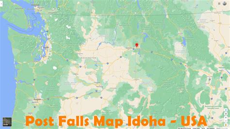
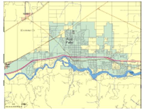
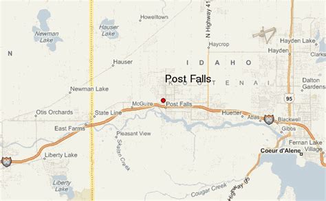
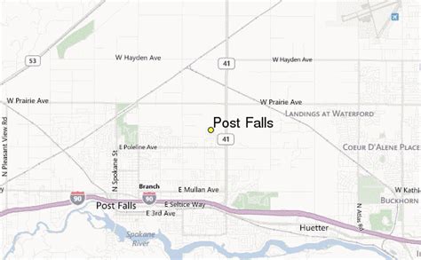
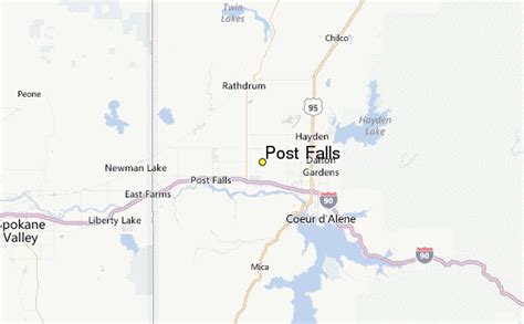
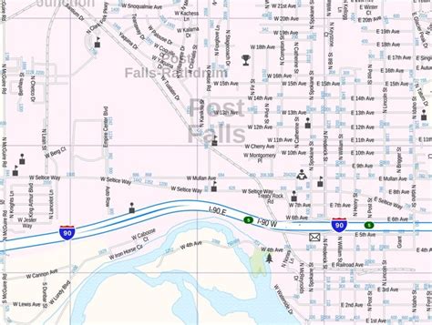
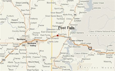
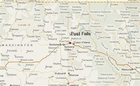
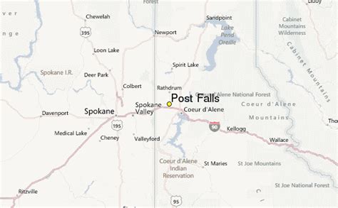
Location: Post Falls, United States Administration Region: Idaho Population: 38162 ISO2 Code: Idaho ISO3 Code: USA Location Type: Latitude: 47.712 Longitude: -116.948
Post Falls is a city in Kootenai County, Idaho, between Coeur d’Alene and Spokane, Washington. It is a suburb of Coeur d’Alene, to the east, and a bedroom community to Spokane, to the west. The population was 38,485 at the time of the 2020 census, up from 17,247 in the 2000 census, making it Idaho’s tenth-largest city.

Top Post Falls HD Maps, Free Download 🗺️
Map
Maps
United States
United States
World Map
China
China