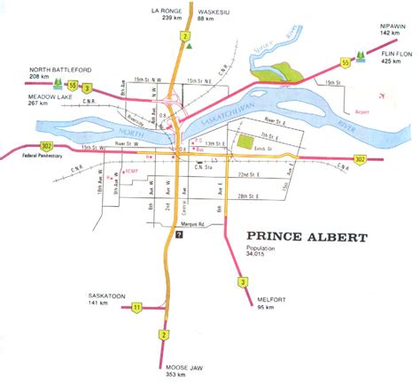
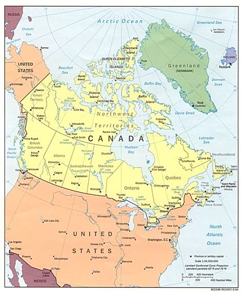
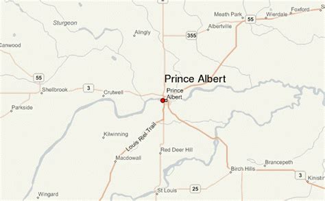
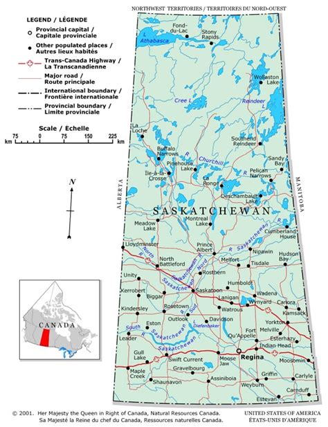
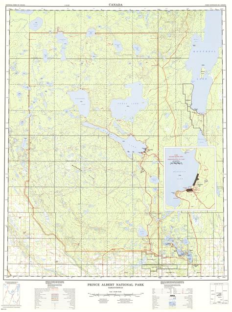
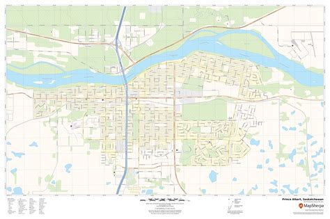
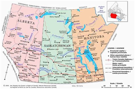
Prince Albert is the third-largest city in Saskatchewan, Canada, after Saskatoon and Regina. It is situated near the centre of the province on the banks of the North Saskatchewan River. The city is known as the “Gateway to the North” because it is the last major centre along the route to the resources of northern Saskatchewan. Prince Albert National Park is located 51 km (32 mi) north of the city and contains a wealth of lakes, forest, and wildlife. The city itself is located in a transition zone between the aspen parkland and boreal forest biomes. Prince Albert is surrounded by the Rural Municipality of Prince Albert No. 461, of which it is the seat, but is politically separate.