Location: Pueblo Bello 🌎
Location: Pueblo Bello, Colombia
Administration Region: Cesar
Population: 27007
ISO2 Code: Cesar
ISO3 Code: COL
Location Type: Lower-level Admin Capital
Latitude: 10.4167
Longitude: -73.5833
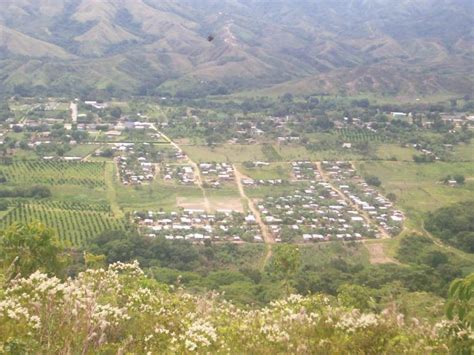
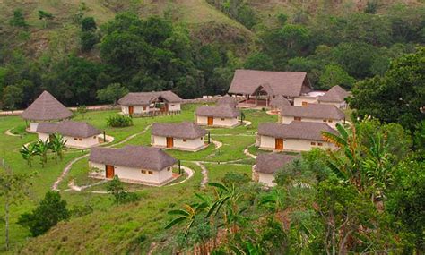
Pueblo Bello (Pretty Village), is a village and municipality in the northern region of the Department of Cesar, Colombia. It is located in the mountains of the Sierra Nevada de Santa Marta and is home to Amerindians pertaining to the Arhuaco ethnicity, whom consider Pueblo Bello a sanctuary but by the name of Arumake in their language. Pueblo Bello is the main producer of coffee in the Caribbean Region of Colombia.
Top Pueblo Bello HD Maps, Free Download 🗺️
Map
Maps
United States
United States
World Map
China
China


