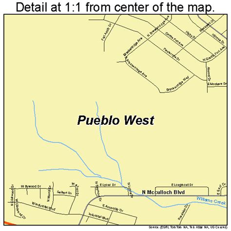
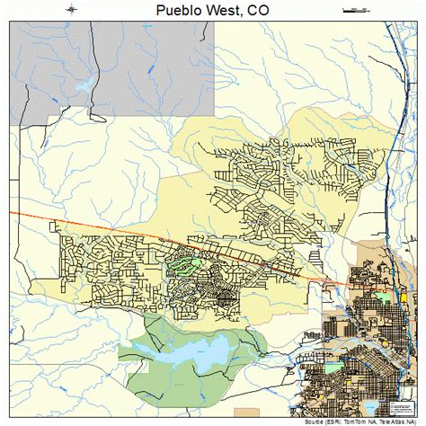
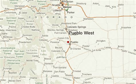
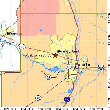
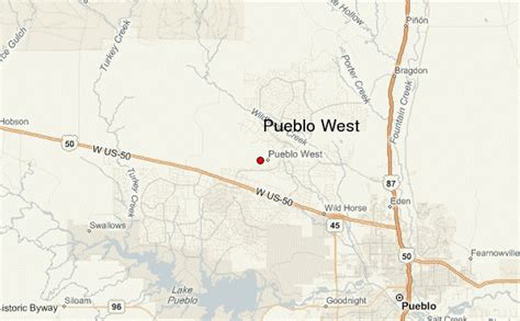
Location: Pueblo West 🌎
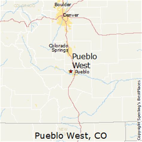
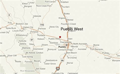
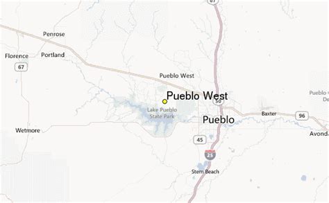
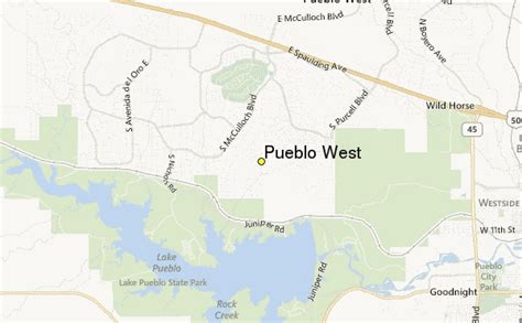
Location: Pueblo West, United States
Administration Region: Colorado
Population: 32991
ISO2 Code: Colorado
ISO3 Code: USA
Location Type:
Latitude: 38.3465
Longitude: -104.7246
Pueblo West is a census-designated place (CDP) in and governed by Pueblo County, Colorado, United States. The CDP is part of the Pueblo, CO Metropolitan Statistical Area. The population of the Pueblo West CDP was 33,086 according to the United States Census 2020. The Pueblo West Metropolitan District provides services. The Pueblo post office (Zip Code 81007) serves Pueblo West postal addresses.
Top Pueblo West HD Maps, Free Download 🗺️
Map
Maps
United States
United States
World Map
China
China
