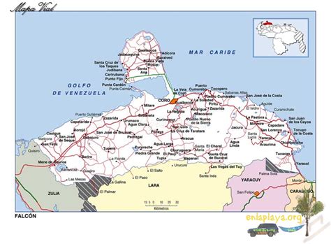
Puerto Cumarebo capital of Zamora Municipality, Falcón state, Venezuela is located 40 miles east of Coro. Emerges in 1600 as population of black “Loangos” people escaped from Curacao. It was named after Cacique Cumarebo, head of the county to the arrival of the Spanish. On May 17, 1845 Canton of Pueblo Cumarebo moved to Puerto Cumarebo and thereafter the port acquires social and political organization of importance to the state. Called The Pearl of Falcón, Cumarebo consists mostly of coasts and plains crossed by rivers and small streams, as well hills gives it a mountain appearance, its climate is 27 °C, with an altitude of 13 meters.