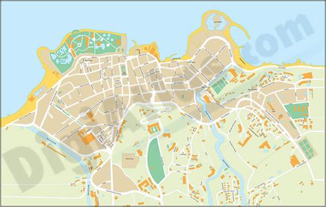
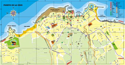
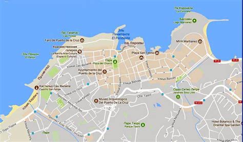
Location: Puerto de la Cruz 🌎
Location: Puerto de la Cruz, Spain Administration Region: Canary Islands Population: 30349 ISO2 Code: Canary Islands ISO3 Code: ESP Location Type: Latitude: 28.4167 Longitude: -16.5333
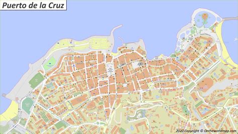
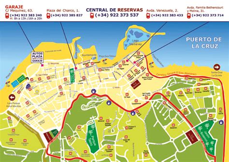
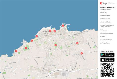
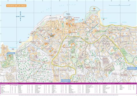
Puerto de la Cruz is a city and municipality in the northern part of the island of Tenerife, Canary Islands, Spain. It was formerly known by its English translation, “Port of the Cross”, although now it is known by its Spanish name in all languages. Puerto de la Cruz is located on the northern coast, 4 km (2 mi) northwest of La Orotava and 30 km (19 mi) west of Santa Cruz de Tenerife. The TF-5 motorway passes through the municipality. The population is 30,483 (2018). In Spanish, the local inhabitants are known as Portuenses. With an area of 8.73 km2 (3 sq mi), the municipality is the smallest in Tenerife. The elevation of the town’s centre is 9 m (30 ft) above sea level and the highest point being Las Arenas, a volcanic cone with an elevation of 249 m (817 ft).
Top Puerto de la Cruz HD Maps, Free Download 🗺️
Map
Maps
United States
United States
World Map
China
China