Location: Pujali 🌎
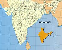
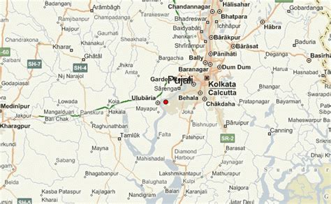
Location: Pujali, India
Administration Region: West Bengal
Population: 37047
ISO2 Code: West Bengal
ISO3 Code: IND
Location Type:
Latitude: 22.4679
Longitude: 88.1452
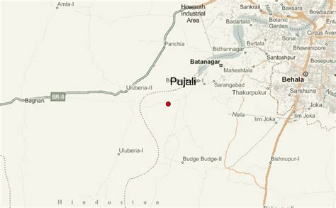
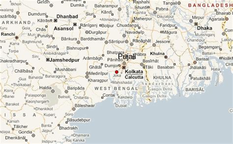
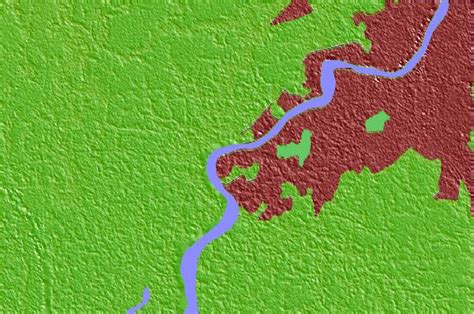
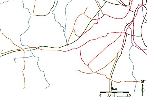
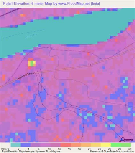
Pujali (Bengali: [puːd͡ʒɑːlɪ] ) is a town and a municipality of the South 24 Parganas district in the Indian state of West Bengal. It is situated on the eastern banks of the Hooghly River. It is a part of the area covered by the Kolkata Metropolitan Development Authority (KMDA).

Top Pujali HD Maps, Free Download 🗺️
Map
Maps
United States
United States
World Map
China
China
