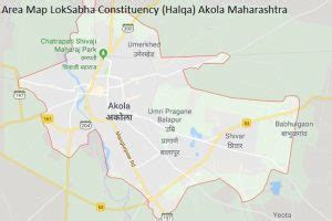
Location: Pulgaon 🌎
Location: Pulgaon, India
Administration Region: Mahārāshtra
Population: 33925
ISO2 Code: Mahārāshtra
ISO3 Code: IND
Location Type:
Latitude: 20.726
Longitude: 78.317
Pulgaon is a municipal council in Wardha district in the India state of Maharashtra. The nearest city is Wardha, 32 kilometres (20 mi) away via the Mumbai–Nagpur Expressway.
Top Pulgaon HD Maps, Free Download 🗺️
Map
Maps
United States
United States
World Map
China
China
