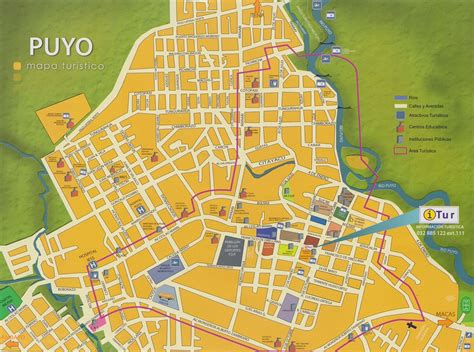
Location: Puyo 🌎
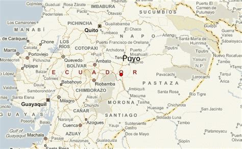
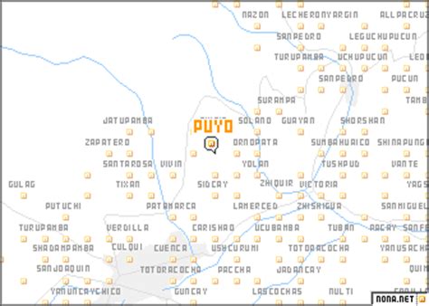
Location: Puyo, Ecuador
Administration Region: Pastaza
Population: 33557
ISO2 Code: Pastaza
ISO3 Code: ECU
Location Type: First-level Admin Capital
Latitude: -1.4861
Longitude: -78.0028
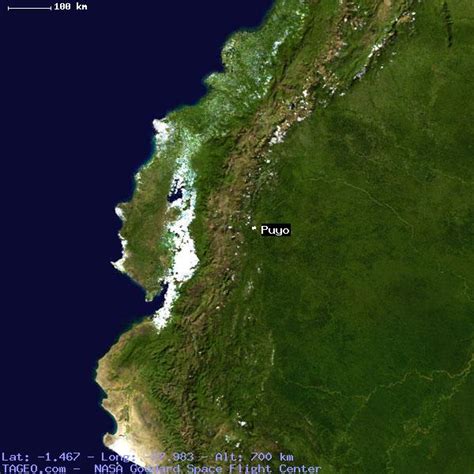
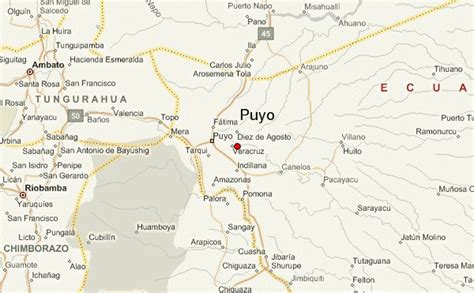
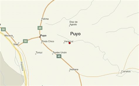
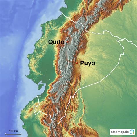
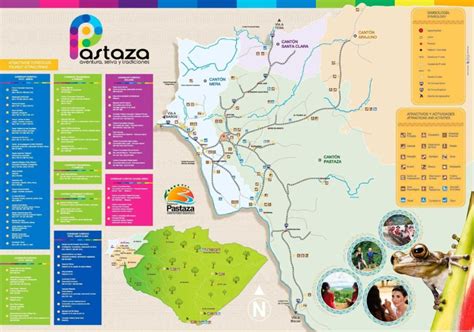
Puyo (Spanish pronunciation: [ˈpuʝo]), also known as El Puyo, is the capital of Pastaza, a province in Ecuador. Puyo is located at an altitude of approximately 950 metres above sea level by the Puyo River, a tributary of the Pastaza River, which eventually leads into the Amazon River. True to its name, derived from the Kichwa word for “cloudy”, the local climate is a wet one and the weather is often overcast.Puyo was founded in 1899. Located between Baños, and the Amazonian cities of Tena and Macas, Puyo is the commercial, cultural and political capital of the region. The city is connected by road to Ambato, Tena, and Macas and from there to the major urban areas of Ecuador. In late 2006, the city had approximately 25,000 inhabitants. It was the fastest growing city in Ecuador in 2006. The seasonal changes in the climate are relatively small, and daytime temperature typically range between 18-24 °C, with sun and generally short, but heavy periods of rain daily.
A small airport is located in the small town of Shell, approximately 10 kilometres (6.2 mi) north-west of Puyo. Small aircraft, both private and commercial, depart daily to small airstrips in the Amazon Rainforest, and occasionally to Quito in the case of severe medical emergencies.
The Puyo Carnaval, a famous Ecuadorian holiday, is celebrated each year in the days leading up to Lent. The custom is to have small neighbourhood parties, and water fights are sometimes involved. Other major holidays are the Day of the Ecuadorian East Amazon on February 12, and the chonta-palm festival.

Top Puyo HD Maps, Free Download 🗺️
Map
Maps
United States
United States
World Map
China
China
