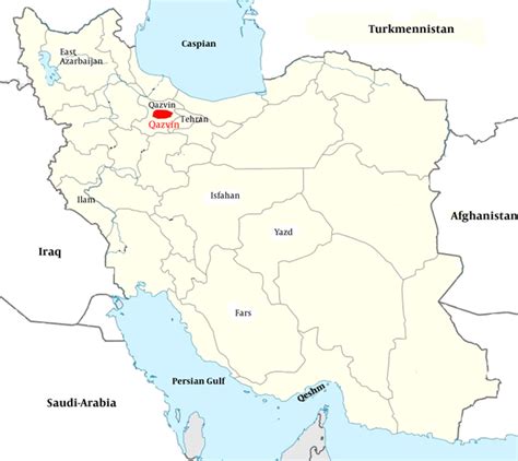
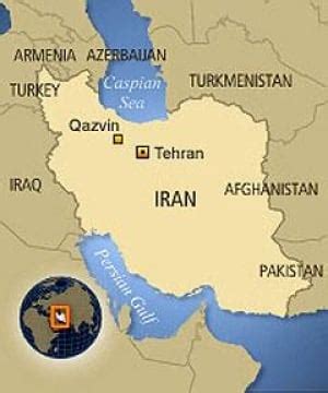
Qazvin (; Persian: قزوین, IPA: [ɢæzˈviːn] , also Romanized as Qazvīn, Qazwin, Kazvin, Kasvin, Caspin, Casbin, Casbeen, or Ghazvin) is the largest city and capital of the Province of Qazvin in Iran. Qazvin was a capital of the Safavid dynasty for over forty years (1555–1598) and nowadays is known as the calligraphy capital of Iran. It is famous for its traditional confectioneries (like Baghlava), carpet patterns, poets, political newspaper and Pahlavi influence on its accent. At the 2011 census, its population was 381,598.Located in 150 km (93 mi) northwest of Tehran, in the Qazvin Province, it is at an altitude of about 1,800 m (5,900 ft) above sea level. The climate is cold but dry, due to its position south of the rugged Alborz range called KTS Atabakiya.