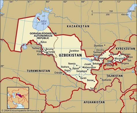
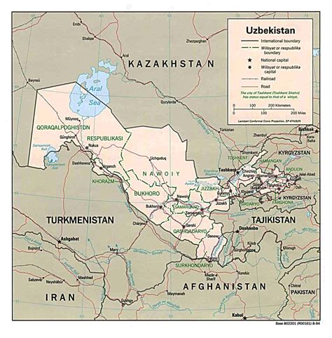
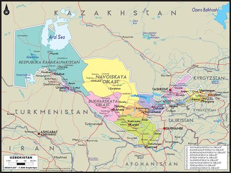
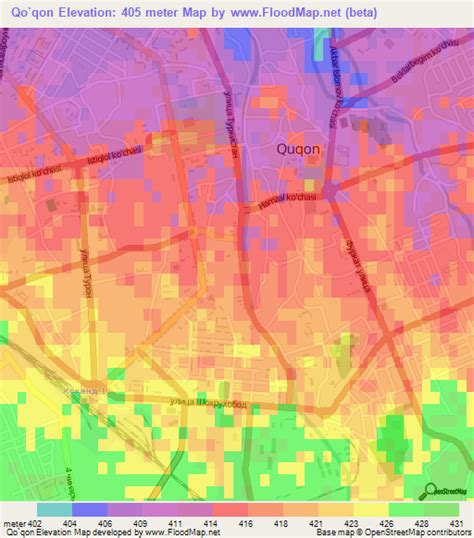
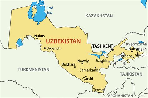
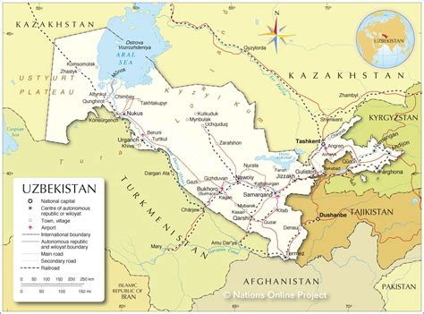
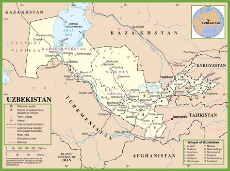
Kokand (Uzbek: Qo‘qon/Қўқон/قوقان, pronounced [qoqɒn]; Russian: Кока́нд; Persian: خوقند, romanized: Xuqand; Chagatay: خوقند, romanized: Xuqand; Kyrgyz: Кокон, romanized: Kokon; Tajik: Хӯқанд, romanized: Xöqand) is a city in Fergana Region in eastern Uzbekistan, at the southwestern edge of the Fergana Valley. Administratively, Kokand is a district-level city, that includes the urban-type settlement Muqimiy. The population of Kokand as of 2022 was approximately 259,700. The city lies 228 km (142 mi) southeast of Tashkent, 115 km (71 mi) west of Andijan, and 88 km (55 mi) west of Fergana. It is nicknamed “City of Winds”. In 1877 when the first ethnographic works were done under the new imperial Russian administration, Khoqand/Kokand was reported and visually depicted on their maps as Tajik inhabited oasis (C.E de Ujfalvy (“Carte Ethnographique du Ferghanah, 1877”). The city and the entire eastern 3/4 of the Fergana Valley were including in Uzbekistan in the 1920s and Stalin’s dictates of political borders.
Kokand is at the crossroads of the two main ancient trade routes into the Fergana Valley, one leading northwest over the mountains to Tashkent, and the other west through Khujand. As a result, Kokand is the main transportation junction in the Fergana Valley.