Location: Querétaro 🌎
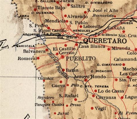
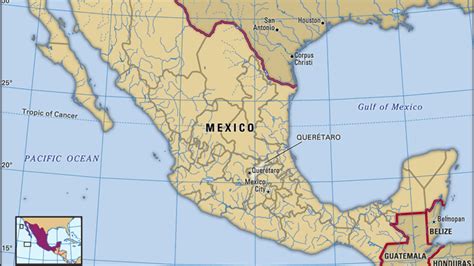
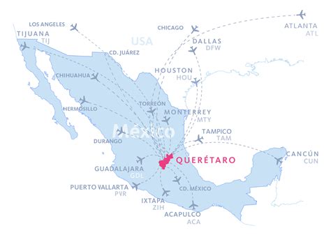
Location: Querétaro, Mexico
Administration Region: Querétaro
Population: 801940
ISO2 Code: Querétaro
ISO3 Code: MEX
Location Type: First-level Admin Capital
Latitude: 20.5833
Longitude: -100.3833
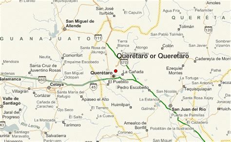
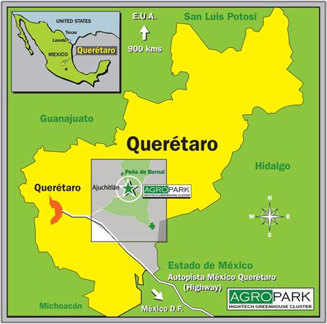
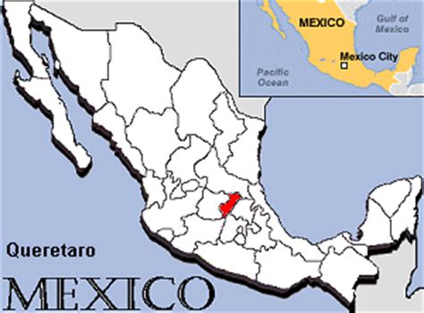
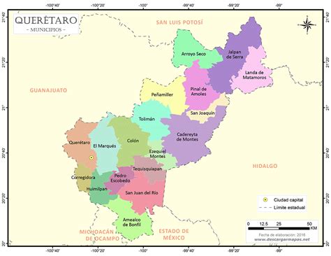
Querétaro (Spanish pronunciation: [keˈɾetaɾo]), officially the Free and Sovereign State of Querétaro (Spanish: Estado Libre y Soberano de Querétaro; Otomi: Hyodi Ndämxei), is one of the 32 federal entities of Mexico. It is divided into 18 municipalities. Its capital city is Santiago de Querétaro. It is located in north-central Mexico, in a region known as Bajío. It is bordered by the states of San Luis Potosí to the north, Guanajuato to the west, Hidalgo to the east, México to the southeast and Michoacán to the southwest.
The state is one of the smallest in Mexico, but also one of the most heterogeneous geographically, with ecosystems varying from deserts to tropical rainforest, especially in the Sierra Gorda, which is filled with microecosystems. The area of the state was located on the northern edge of Mesoamerica, with both the Purépecha Empire and Aztec Empire having influence in the extreme south, but neither really dominating it. The area, especially the Sierra Gorda, had a number of small city-states, but by the time the Spanish arrived, the area was independent from Empirical powers. Small agricultural villages and seminomadic peoples lived in the area. Spanish conquest was focused on the establishment of Santiago de Querétaro, which still dominates the state culturally, economically and educationally.
For many years, the name of the state was Querétaro de Arteaga, but in 2010 the State Legislature approved the adoption of the simpler name Querétaro.

Top Querétaro HD Maps, Free Download 🗺️
Map
Maps
United States
United States
World Map
China
China
