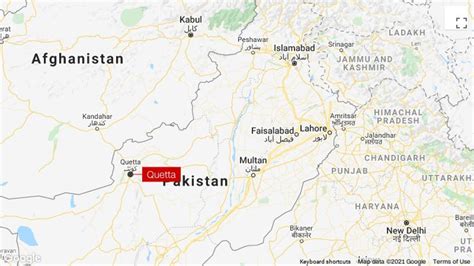
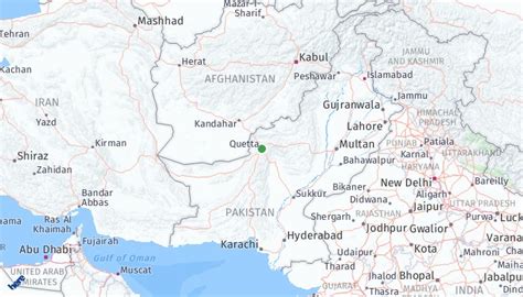
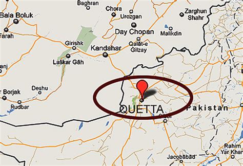
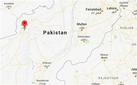
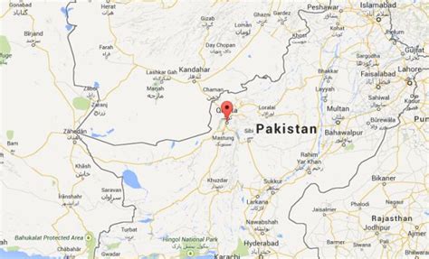
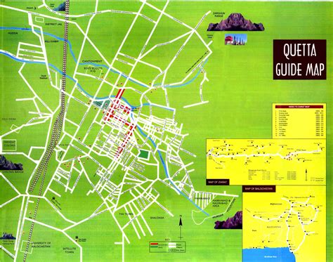
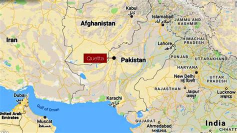
Quetta (; Urdu: کوئٹہ; [ˈkweːʈə] ; Pashto: کوټه) is the tenth most populous city in Pakistan with a population of over 1.1 million. It is situated in the south-west of the country, surrounded by mountains. It is the capital of the province of Balochistan where it is the largest city. Quetta is at an average elevation of 1,680 metres (5,510 feet) above sea level, making it Pakistan’s only high-altitude major city. The city is known as the “Fruit Garden of Pakistan” due to the numerous fruit orchards in and around it, and the large variety of fruits and dried fruit products produced there.Located in northern Balochistan near the Pakistan-Afghanistan border and the road across to Kandahar, Quetta is a trade and communication centre between the two countries. The city is near the Bolan Pass route which was once one of the major gateways from Central Asia to South Asia. Quetta played an important role militarily for the Pakistani Armed Forces in the intermittent Afghanistan conflict. It is currently home to 500,000 undocumented Afghan refugees.