Location: Rabat 🌎
Location: Rabat, Morocco
Administration Region: Rabat-Salé-Kénitra
Population: 572717
ISO2 Code: Rabat-Salé-Kénitra
ISO3 Code: MAR
Location Type: Primary Capital
Latitude: 34.0209
Longitude: -6.8416
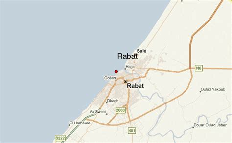
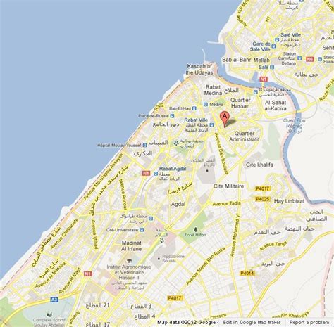
Rabat (, also UK: , US: ; Arabic: الرِّبَاط, romanized: er-Ribât; Berber languages: ⵕⵕⴱⴰⵟ, romanized: ṛṛbaṭ) is the capital city of Morocco and the country’s seventh-largest city with an urban population of approximately 580,000 (2014) and a metropolitan population of over 1.2 million. It is also the capital city of the Rabat-Salé-Kénitra administrative region. Rabat is located on the Atlantic Ocean at the mouth of the river Bou Regreg, opposite Salé, the city’s main commuter town.
Rabat was founded in the 12th century by the Almohads. The city grew at first but went into an extended period of decline following the collapse of the Almohads. In the 17th century, Rabat became a haven for Barbary pirates. When the French established a protectorate over Morocco in 1912 they made Rabat its administrative center. When Morocco achieved independence in 1955 Rabat became its capital.
Rabat, Temara, and Salé form a conurbation of over 1.8 million people. Silt-related problems have diminished Rabat’s role as a port; however, Rabat and Salé still maintain important textile, food processing and construction industries. In addition, tourism and the presence of all foreign embassies in Morocco make Rabat one of the most important cities in the country. The Moroccan capital was ranked at second place by CNN in its “Top Travel Destinations of 2013”. It is one of four Imperial cities of Morocco, and the medina of Rabat is listed as a World Heritage Site. Rabat is accessible by train through the ONCF system and by plane through the nearby Rabat–Salé Airport.

Top Rabat HD Maps, Free Download 🗺️
Map
Maps
United States
United States
World Map
China
China


