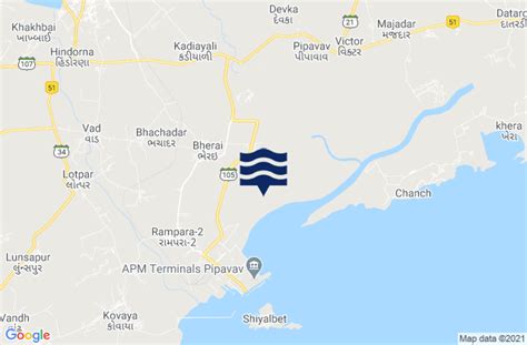
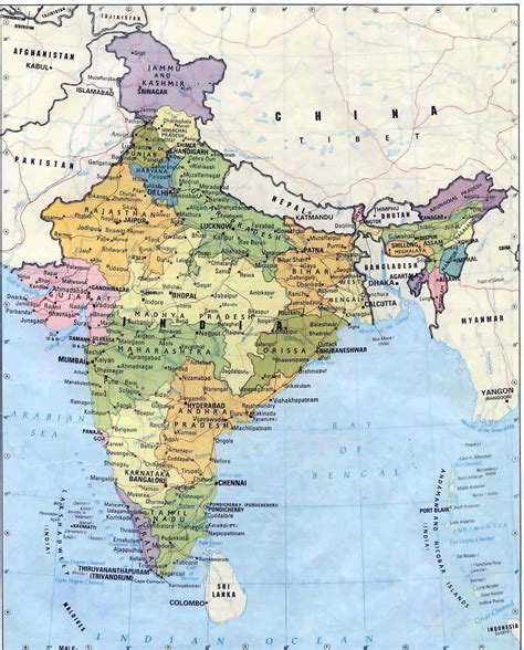
Location: Rājula 🌎
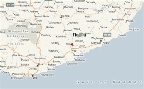
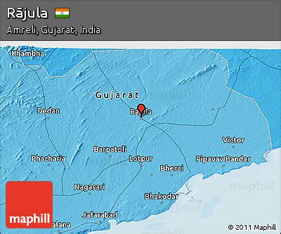
Location: Rājula, India
Administration Region: Gujarāt
Population: 38489
ISO2 Code: Gujarāt
ISO3 Code: IND
Location Type:
Latitude: 21.05
Longitude: 71.43
Rajula is a city and municipality in Amreli district in the Indian state of Gujarat. City was known as Rajgadh at the time of local ruler daha dhakhda.
Originally Rajula spread between Dholio Dunger and Piriyo Dungar, but has expanded beyond that area on all sides. Rajula has a big market yard facility. A small lake appears on the western side of the town near the dam.
Etymology : etymologically Rajula is Sanskrit word meaning ( राज means rule + उल ula means can’t bear something ) The city that can not bear rule Or city that can not bear depraved ruler.
Another sources claims that Rajula name derives from princess rajulakumari also known as rajamati , wife of lord Neminath famous tirthkara in Jainism.One theory also suggests that the name rajula derives from indoscythian King Rajuvula whose empire was from Mathura to shore of saurashtra.
Historically city was under dhakhda rulers. At time of gohilwad vakhatsinh ji annexed Rajula. At around 1800 AD gaekwad ruled amreli, at time there was British governance established, and then navab of Junagadh captured babariyawad (42 villages including Rajula). But by proving its name Rajula (and Mangrol) got independence by 1 November 1947 from junagadh and merged with amreli district of Saurashtra.
Top Rājula HD Maps, Free Download 🗺️
Map
Maps
United States
United States
World Map
China
China
