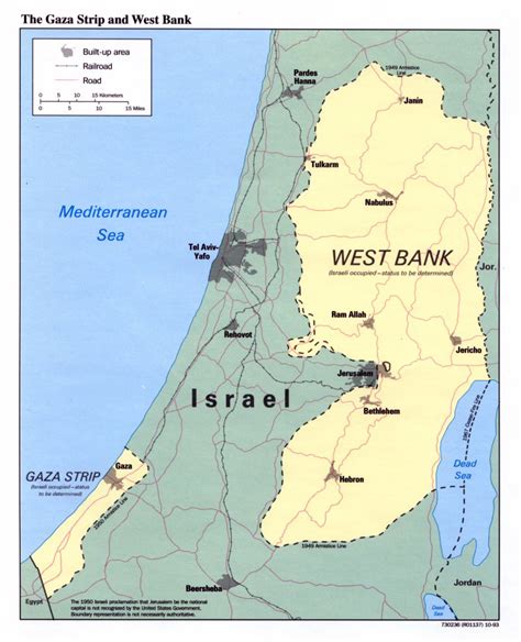
Location: Ramallah 🌎
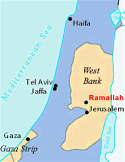
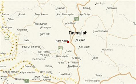
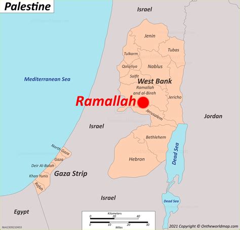
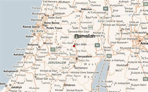
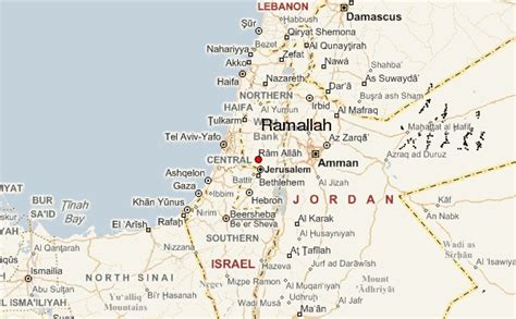
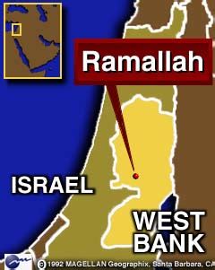
Location: Ramallah, West Bank
Administration Region:
Population: 38998
ISO2 Code:
ISO3 Code: XWB
Location Type:
Latitude: 31.9
Longitude: 35.2
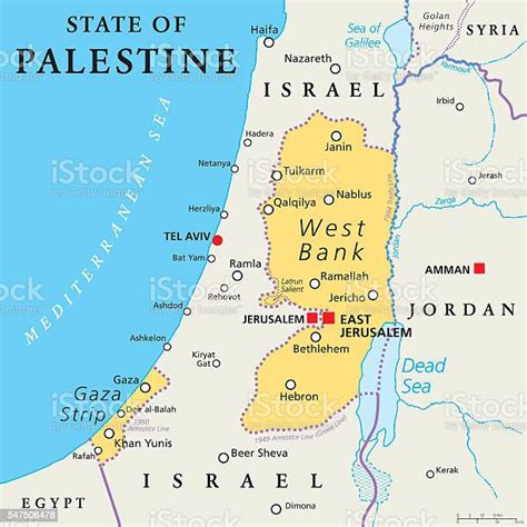
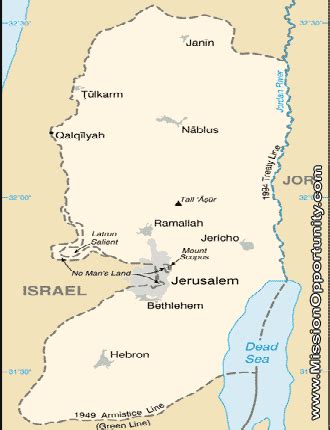
Ramallah (UK: rə-MAL-ə, US: rə-MAH-lə; Arabic: رام الله, romanized: Rām Allāh, lit. ’God’s Height’) is a Palestinian city in the central West Bank that serves as the de facto administrative capital of the State of Palestine. It is situated on the Judaean Mountains, 10 km (6 miles) north of Jerusalem, at an average elevation of 872 meters (2,861 ft) above sea level, adjacent to al-Bireh.Ramallah has buildings containing masonry from the period of Herod the Great, but no complete building predates the Crusades of the 11th century. The modern city was founded during the 16th century by the Hadadeens, an Arab Christian clan descended from Ghassanids. In 1517, the city was incorporated into the Ottoman Empire, and in 1920, it became part of British Mandatory Palestine after it was captured by the United Kingdom during World War I. The 1948 Arab–Israeli War saw the entire West Bank, including Ramallah, occupied and annexed by Transjordan. Ramallah was later captured by Israel in the 1967 Six-Day War. Since the 1995 Oslo Accords, Ramallah has been governed by the PNA as part of Area A of the West Bank.
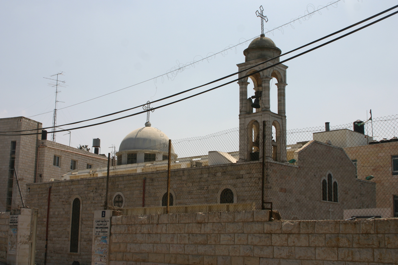
In recent years, Ramallah has emerged as a key political, cultural, and economic center. It houses various Palestinian governmental bodies, including the Mukataa, the official residence of the President of the Palestinian National Authority, the Palestinian Legislative Council, and the headquarters of the Palestinian Security Services. It is also home to several museums and cultural centers, and has a notable nightlife scene. While historically a predominantly Christian town, Muslims constituted a majority of Ramallah’s 38,998 residents by 2017, with Christians making up a significant minority.
Top Ramallah HD Maps, Free Download 🗺️
Map
Maps
United States
United States
World Map
China
China
