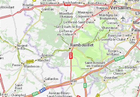
Rambouillet (UK: , US: , French: [ʁɑ̃bujɛ] ) is a subprefecture of the Yvelines department in the Île-de-France region of France. It is located beyond the outskirts of Paris, 44.3 km (27.5 mi) southwest of its centre. In 2018, the commune had a population of 26,933.
Rambouillet lies on the edge of the vast Forest of Rambouillet (Forêt de Rambouillet or Forêt de l’Yveline); it is famous for its historical castle, the Château de Rambouillet, which hosted several international summits. Due to its proximity to Paris and Versailles, Rambouillet has long been an occasional seat of government.