Location: Ramsgate 🌎
Location: Ramsgate, United Kingdom
Administration Region: Kent
Population: 40408
ISO2 Code: Kent
ISO3 Code: GBR
Location Type:
Latitude: 51.336
Longitude: 1.416
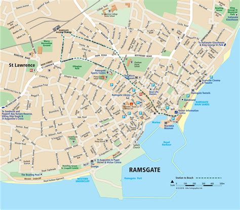
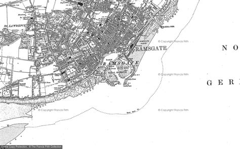
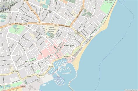
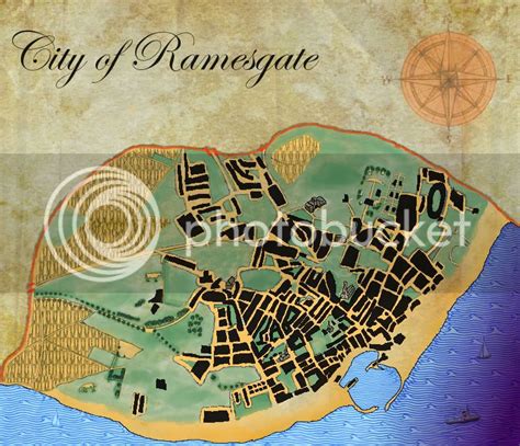
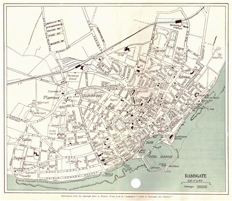
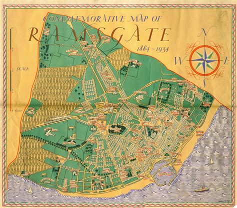
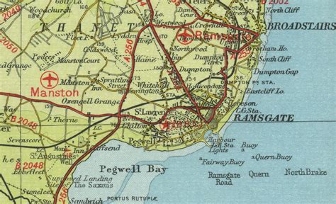
Ramsgate is a seaside town in the district of Thanet in east Kent, England. It was one of the great English seaside towns of the 19th century. In 2001 it had a population of about 40,000. In 2011, according to the Census, there was a population of 40,408. Ramsgate’s main attraction is its coastline, and its main industries are tourism and fishing. The town has one of the largest marinas on the English south coast, and the Port of Ramsgate provided cross-channel ferries for many years.
Top Ramsgate HD Maps, Free Download 🗺️
Map
Maps
United States
United States
World Map
China
China
