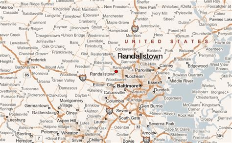
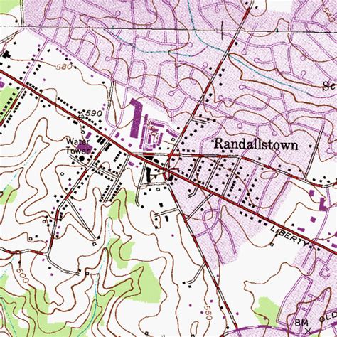
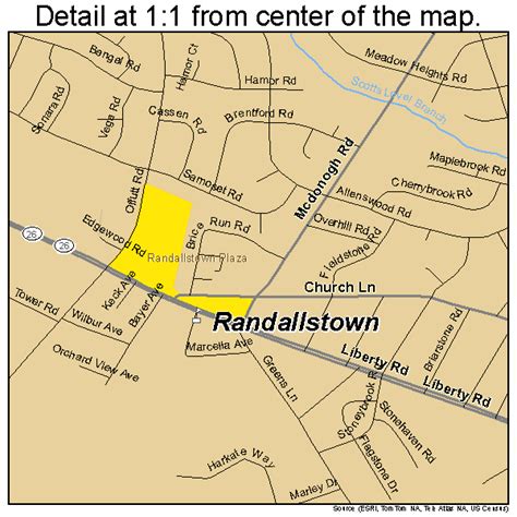
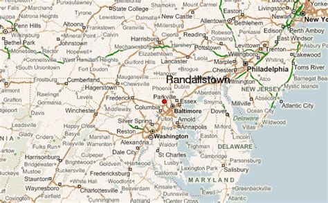
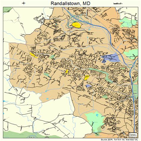
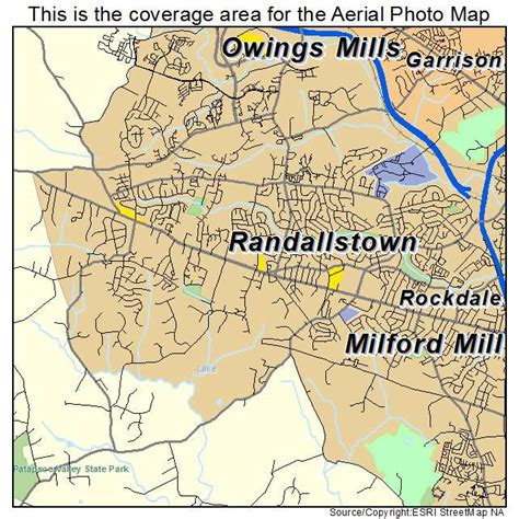
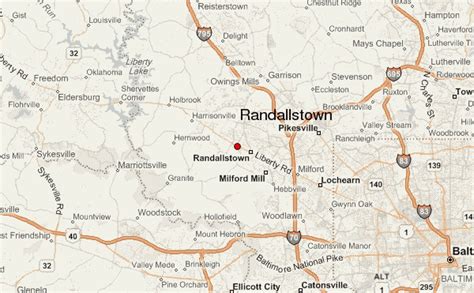
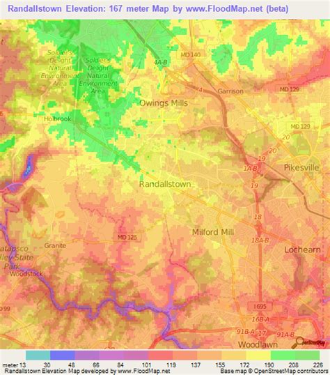
Location: Randallstown 🌎
Location: Randallstown, United States
Administration Region: Maryland
Population: 35641
ISO2 Code: Maryland
ISO3 Code: USA
Location Type:
Latitude: 39.3753
Longitude: -76.7967
Randallstown is an unincorporated community and census-designated place in Baltimore County, Maryland, United States. It is named after Christopher and Thomas Randall, two 18th-century tavern-keepers. At that time, Randallstown was a tollgate crossroads on the Liberty Turnpike, a major east–west thoroughfare. It is a suburb of Baltimore, with a population of 33,655 as of the 2020 census. As of 2020 it was 72 percent African American. In the 1990s, Randallstown transitioned to a majority African American community.Choate House was listed on the National Register of Historic Places in 1989.
Top Randallstown HD Maps, Free Download 🗺️
Map
Maps
United States
United States
World Map
China
China
