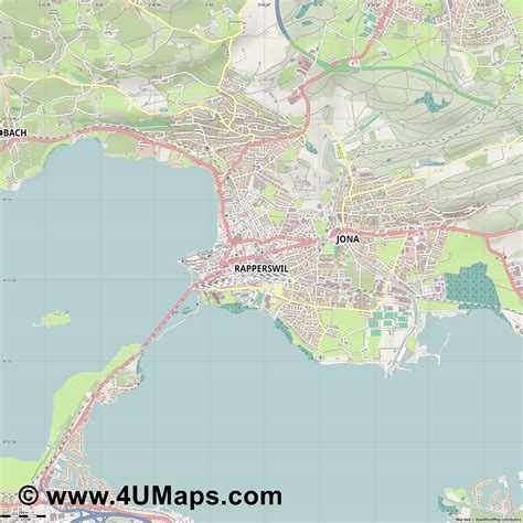
Location: Rapperswil-Jona 🌎
Location: Rapperswil-Jona, Switzerland
Administration Region: Sankt Gallen
Population: 26995
ISO2 Code: Sankt Gallen
ISO3 Code: CHE
Location Type: Lower-level Admin Capital
Latitude: 47.2167
Longitude: 8.8167
Rapperswil-Jona is a municipality in the Wahlkreis (constituency) of See-Gaster in the canton of St. Gallen in Switzerland.
Besides Rapperswil and Jona, which were separate municipalities until 2006, Rapperswil-Jona also includes Bollingen, Busskirch, Curtiberg, Kempraten-Lenggis, Wagen, and Wurmsbach.
The official language of Rapperswil is (the Swiss variety of Standard) German, but the main spoken language is the local variant of the Alemannic Swiss German dialect.

Top Rapperswil-Jona HD Maps, Free Download 🗺️
Map
Maps
United States
United States
World Map
China
China
