Location: Ratchaburi 🌎
Location: Ratchaburi, Thailand Administration Region: Ratchaburi Population: 36339 ISO2 Code: Ratchaburi ISO3 Code: THA Location Type: First-level Admin Capital Latitude: 13.5289 Longitude: 99.8144
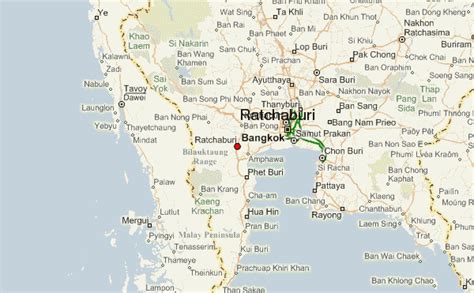
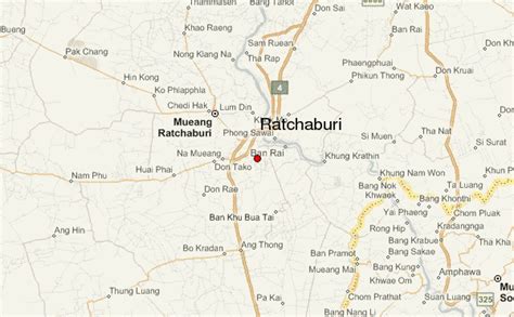
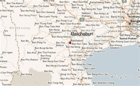
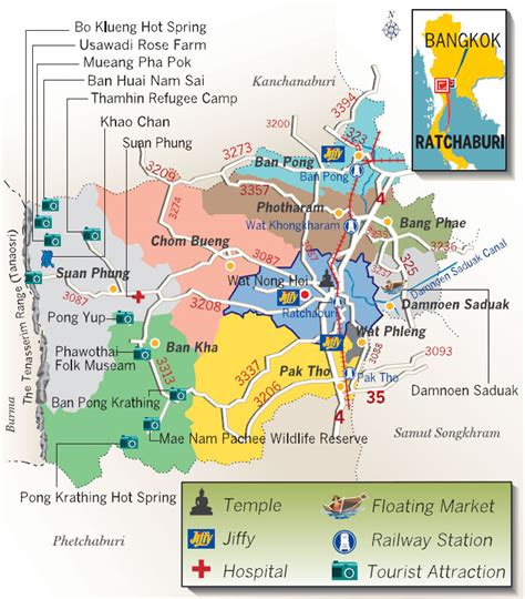
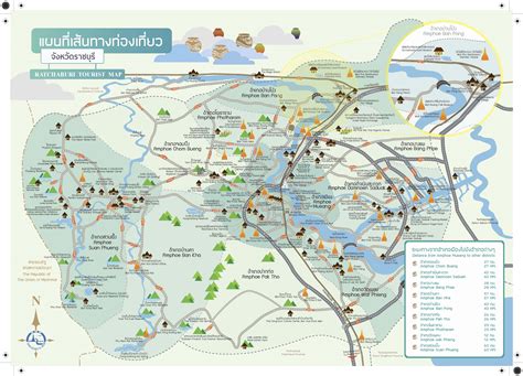
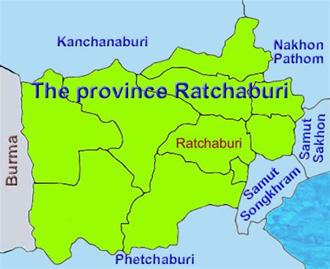
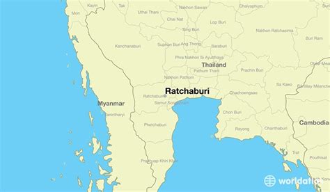
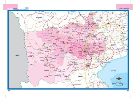
Ratchaburi province (Thai: จังหวัดราชบุรี, pronounced [t͡ɕāŋ.wàt râːt.t͡ɕʰā.bū.rīː]) or Rat Buri (pronounced [râːt bū.rīː]) is one of Thailand’s seventy-six provinces (changwat) lies in Western Thailand. Neighbouring provinces are (from north clockwise) Kanchanaburi, Nakhon Pathom, Samut Sakhon, Samut Songkhram and Phetchaburi. In the west it borders the Tanintharyi Region of Myanmar. Ratchaburi is 80 kilometres (50 mi) west of Bangkok and borders Myanmar to the west with the Tenasserim Hills as a natural border. The Mae Klong flows through the centre of Ratchaburi town.

Top Ratchaburi HD Maps, Free Download 🗺️
Map
Maps
United States
United States
World Map
China
China