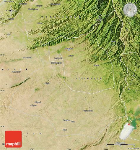
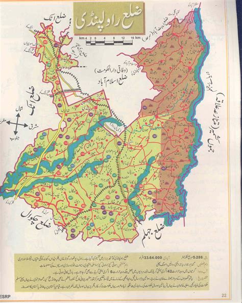
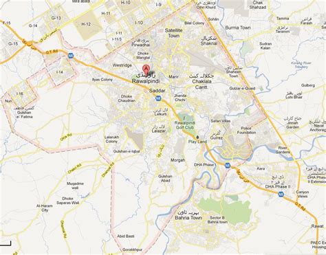
Rawalpindi (; Punjabi, Urdu: راولپنڈی, romanized: Rāwalpinḍī; pronounced [ɾɑːʋəlpɪnɖiː] ) is a city in the Punjab province of Pakistan. It is the fourth most populous city in Pakistan after Karachi, Lahore, and Faisalabad, and third populous in Punjab after Lahore and Faisalabad. Rawalpindi is situated close to Pakistan’s capital Islamabad, and the two are jointly known as the “twin cities” because of the social and economic links between them.Rawalpindi is on the Pothohar Plateau, and remained a small town of less importance up until 18th century. Potohar region was known for its ancient Hindu and Buddhist heritage, especially in the neighbouring town of Taxila, a UNESCO World Heritage Site. In 1765, the ruling Gakhars were defeated and the city came under Sikh rule, Rawalpindi from a small regional town became an important city within the Sikh Empire based at Lahore. The city’s Babu Mohallah neighbourhood was once home to a community of Jewish traders that had fled Mashhad, Persia, in the 1830s. The city was conquered by the British Raj in 1849, and in the late 19th century became the largest garrison town of the British Indian Army’s Northern command as its climate suited the British authorities. Britain’s army elevated the city from a small town to the third largest city in Punjab by 1921. Following the partition of British India in 1947, the city became home to the headquarters of the Pakistan Army, retaining its status as a major military city.In 1951, the Rawalpindi conspiracy took place in which leftist army officers conspired to depose the first elected Prime Minister of Pakistan, Liaquat Ali Khan. Rawalpindi later became the site of the Liaquat Ali Khan’s assassination. On 27 December 2007, Rawalpindi was the site of the assassination of former Prime Minister Benazir Bhutto.Construction of Pakistan’s new purpose-built national capital city of Islamabad in 1961 led to greater investment in the city provided by IMF and local banks, as well as a brief stint as the country’s capital before the completion of Islamabad. Modern Rawalpindi is socially and economically intertwined with Islamabad, and the greater metropolitan area. The city is also home to numerous suburban housing developments that serve as bedroom-communities for workers in Islamabad. As home to the GHQ of the Pakistan Army and PAF Base Nur Khan, and with connections to the M-1 and M-2 motorways, Rawalpindi is a major logistics and transportation centre for northern Pakistan. The city is also home to historic havelis and temples, and serves as a hub for tourists visiting Rohtas Fort, Azad Kashmir, Taxila and Gilgit-Baltistan.