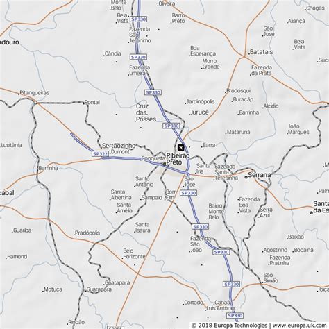
Location: Ribeirão Prêto 🌎
Location: Ribeirão Prêto, Brazil
Administration Region: São Paulo
Population: 711825
ISO2 Code: São Paulo
ISO3 Code: BRA
Location Type:
Latitude: -21.1783
Longitude: -47.8067
Ribeirão Preto (Portuguese pronunciation: [ʁibejˈɾɐ̃w ˈpɾetu]) is a municipality and a metropolitan area located in the northeastern region of São Paulo state, Brazil.
Ribeirão Preto is the eighth-largest municipality in the State with 650.9 km2 (251.3 sq mi). It has an estimated population of 720,216 in 2021 and a metropolitan area of 1,178,910. It is located 313 km (194 mi) from the city of São Paulo and 706 km (439 mi) from Brasília, the federal capital. Its mean altitude is 526.8 m (1,728 ft) high. The city’s average temperature throughout the year is 23 °C (73 °F), and the original predominant vegetation is the Atlantic forest.
The city originated around 1856 as an agricultural region. Coffee was a primary income source until 1929 when it lost value compared with the industrial sector. In the second half of the 20th century, investment in health, biotechnology, bioenergy, and information technology led to the city being declared a Technological Center in 2010. These activities have caused the city to have the 30th biggest gross national (GNP) in Brazil.
The city is also an important cultural center. The Mayor Luiz Roberto Jábali Park, the Maurilio Biagi Park, Carlos Raya Park, Santa Tereza Reserve, and the Zoo are important preservation areas. Pinguim Beerhouse, Dom Pedro Theatre, and projects such as Ribeirão Preto’s Cinema Center are relevant sightseeing points, along with events such as the Agrishow Agricultural Fair, Tanabata Festival, Joao Rock Music Festival, and the National Outdoor Book Fair.

Top Ribeirão Prêto HD Maps, Free Download 🗺️
Map
Maps
United States
United States
World Map
China
China


