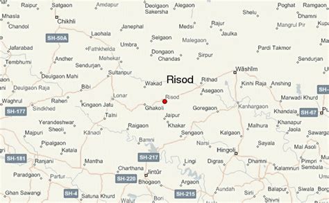
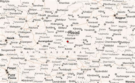
Location: Risod 🌎
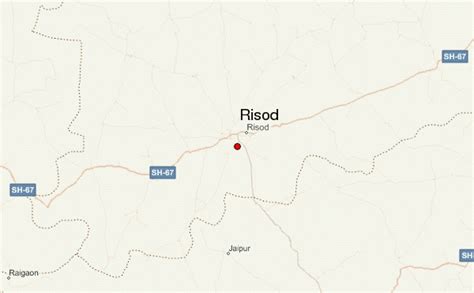
Location: Risod, India
Administration Region: Mahārāshtra
Population: 34136
ISO2 Code: Mahārāshtra
ISO3 Code: IND
Location Type:
Latitude: 19.97
Longitude: 76.78
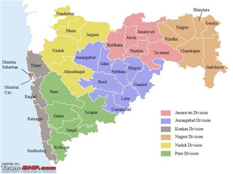
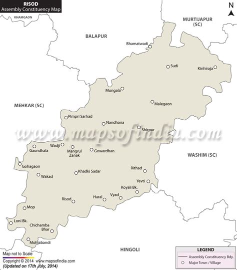
Risod is a city and a municipal council in Washim district in the Indian state of Maharashtra. Risod is also a major market place for the people from Hingoli district as well as Risod tahsil.
Penganga is major river flowing from Risod taluka it is a tributary of River Godavari. Major Cities near Risod are: Nanded (140 km) away, Sambhajinagar (Aurangabad)180 km away, Nagpur 323 km away, Pune 430 km away, Mumbai 500 km away. Major airports (Commercial) near Risod are: Dr. Babasaheb Ambedkar International Airport, Nagpur Chatrapati Sambhajimaharaj Airport Sambhajinagar (Aurangabad). Shri Guru Gobind Singh Airport, Nanded and emergency airports near Risod are Akola and Yavatmal. Major Railway stations near Risod are: Hingoli, Akola and Washim.
Top Risod HD Maps, Free Download 🗺️
Map
Maps
United States
United States
World Map
China
China
