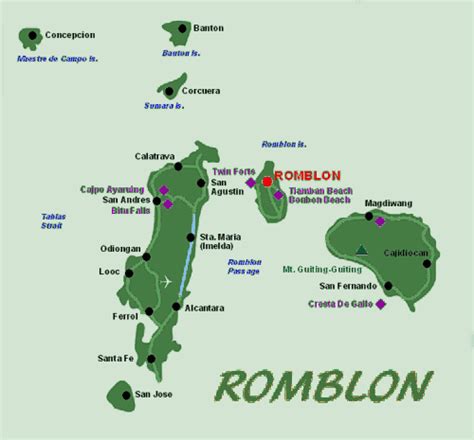
Location: Romblon 🌎
Location: Romblon, Philippines
Administration Region: Romblon
Population: 40554
ISO2 Code: Romblon
ISO3 Code: PHL
Location Type: First-level Admin Capital
Latitude: 12.55
Longitude: 122.28
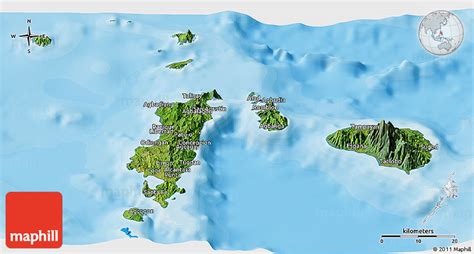
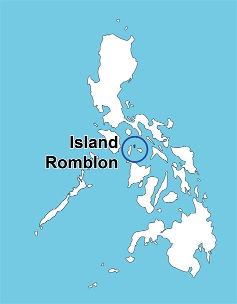
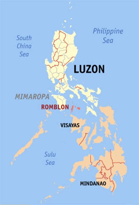
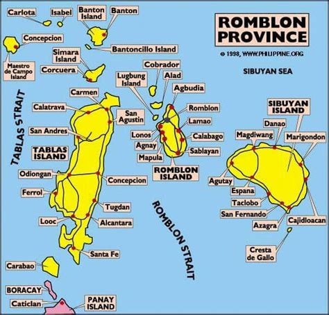
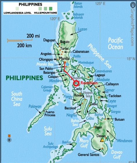
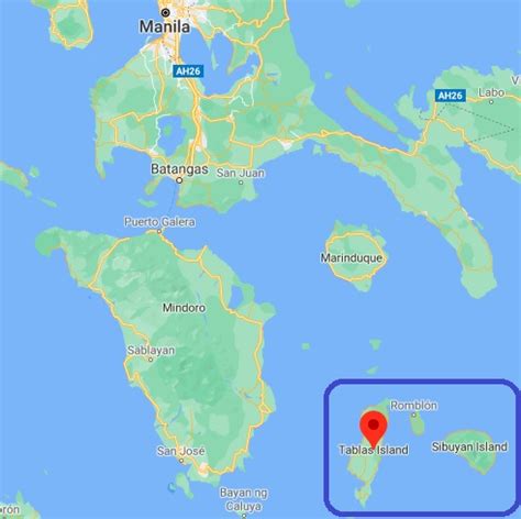
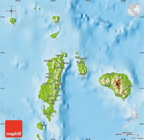
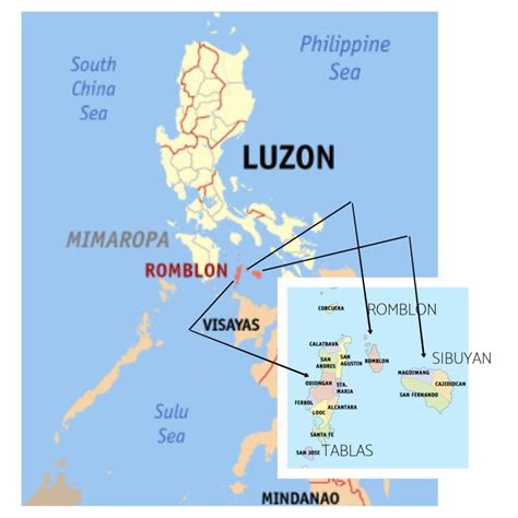
Romblon ( rom-BLOHN, Tagalog: [ɾomˈblon]), officially the Province of Romblon, is an archipelagic province of the Philippines located in the Mimaropa region. Its main islands include Tablas, the largest, which covers nine municipalities; Sibuyan with its three towns; as well as the smaller island municipalities of Corcuera, Banton, Concepcion, San Jose, and the municipality of the same name (which also serves as the provincial capital). The province lies south of Marinduque and Quezon, east of Oriental Mindoro, north of Aklan and Capiz, and west of Masbate. According to the 2020 census, it has a total population of 308,985. Romblon has been inhabited by aboriginal Filipinos prior to the arrival of the Spanish in 1569. Archaeological artifacts recovered by the National Museum in 1936 indicate that the aborigines of Romblon already have a rich and advanced culture. During the Spanish colonial rule, Romblon was initially administered under the province of Arevalo (Iloilo) until 1716, when it was transferred to the jurisdiction of the newly created province of Capiz. With arrival of the Americans in 1901, Romblon was declared a province and placed under civilian rule. It lost its provincial status for a short while between 1907 and 1945, but regained it in 1946, just after World War II.
The inhabitants of Romblon are divided into three ethnolinguistic groups: Romblomanon, Onhan and Asi. These groups occupy specific islands in the province and have their own language and customs. Romblomanon is mainly spoken in the town of Romblon, in all of three towns of Sibuyan Island, and the town of San Agustin in Tablas. Onhan is mainly spoken in the municipalities in the southern part of Tablas (Alcantara, Looc, Ferrol, Santa Fe, San Andres, and Santa Maria), as well as in the island municipality of San Jose. The northwestern part of Tablas Island (in Odiongan and Calatrava, as well as the islands municipalities of Corcuera, Banton, and Concepcion), speaks the Asi language.
Currently, the province relies on agriculture, particularly rice and copra farming as well as fishing, for its livelihood. It also has a lucrative marble industry due to an abundance of Italian-quality marble, hence, its moniker as the “Marble Capital of the Philippines.” In recent years, the province has also become an ecotourism destination, with several white sand beaches, diving spots, mountains and rainforests that tourists visit annually.
Top Romblon HD Maps, Free Download 🗺️
Map
Maps
United States
United States
World Map
China
China
