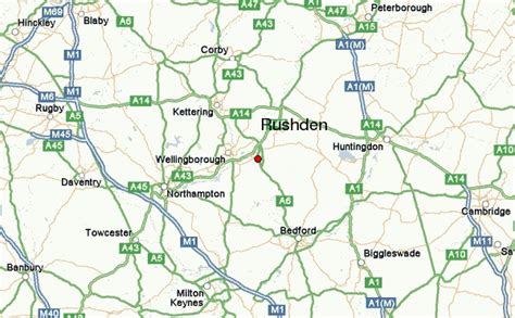
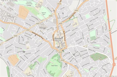
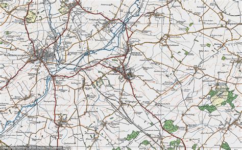
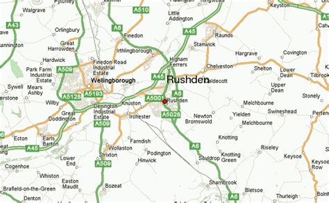
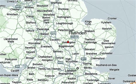
Location: Rushden 🌎
Location: Rushden, United Kingdom
Administration Region: Northamptonshire
Population: 31690
ISO2 Code: Northamptonshire
ISO3 Code: GBR
Location Type:
Latitude: 52.288
Longitude: -0.601
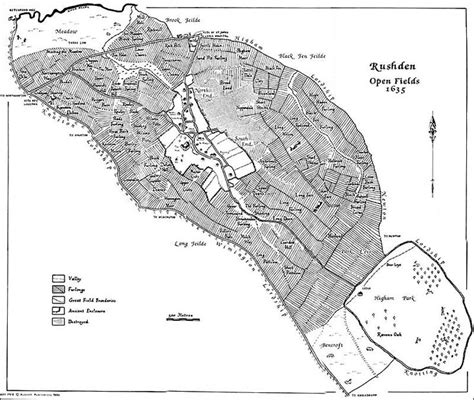
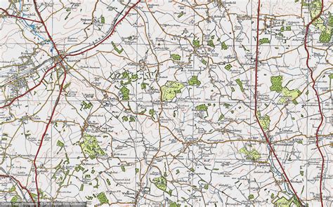
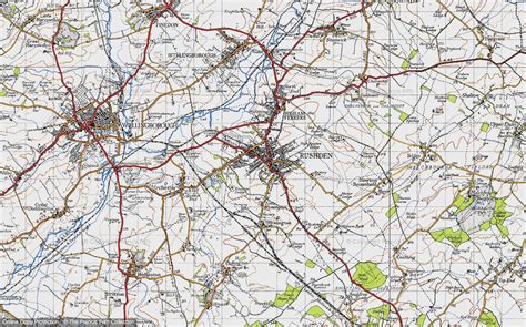
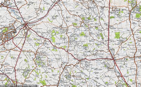
Rushden is a market town and civil parish in North Northamptonshire, England, around 13 miles (21 km) east of Northampton. The parish is on the border with Bedfordshire, 18 miles (29 km) north of Bedford.The parish of Rushden covers an area of some 9,000 acres (36.42 km2). The population of Rushden is 32,038 (Census 2021) [2], making it the fifth largest town in the county. The larger urban area, which includes the adjoining town of Higham Ferrers, has a population of 40,865.
Top Rushden HD Maps, Free Download 🗺️
Map
Maps
United States
United States
World Map
China
China
